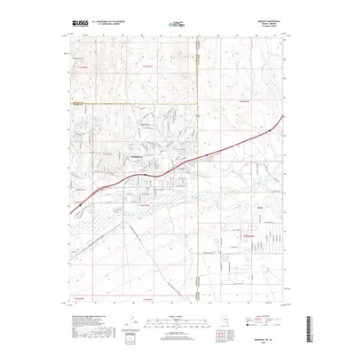
2018 Map of Mesquite
USGS Topo · Published 2018About this map
The Virgin River corridor serves as the lifeblood for this desert landscape, where the Nevada-Arizona border meets the southern edge of the Mojave Desert. The community of Mesquite shows its modern expansion toward the foothills, marked by a dense network of residential streets like Falcon Ridge Pkwy and Conestoga Pkwy that navigate the high ground above the valley floor. To the west, Flat Top Mesa rises as a prominent landmark overlooking the washes that drain into the river.
Find a feature on this map
122 named features on this map. Tap any name to fly to it.
Don’t see what you’re looking for? This feature index may not catch every label — zoom into the map to look around manually.
Map Details
Editions of this 2018 Mesquite Map
This is the sole edition of this map. No revisions or reprints were ever made.
Other maps of this area

1886 · Saint Thomas
USGS Topo · 1:250,000

1886 · Mt. Trumbull
USGS Topo · 1:250,000

1892 · Mt. Trumbull
USGS Topo · 1:250,000

1893 · Saint Thomas
USGS Topo · 1:250,000

1953 · Grand Canyon
USGS Topo · 1:250,000

1954 · Las Vegas
USGS Topo · 1:250,000

1954 · Littlefield
USGS Topo · 1:62,500

1954 · Cane Springs
USGS Topo · 1:62,500

1957 · Las Vegas
USGS Topo · 1:250,000

1957 · Grand Canyon
USGS Topo · 1:250,000