Loading...
Loading map...2021 Map of Mesquite
USGS Topo · Published 2021About this map
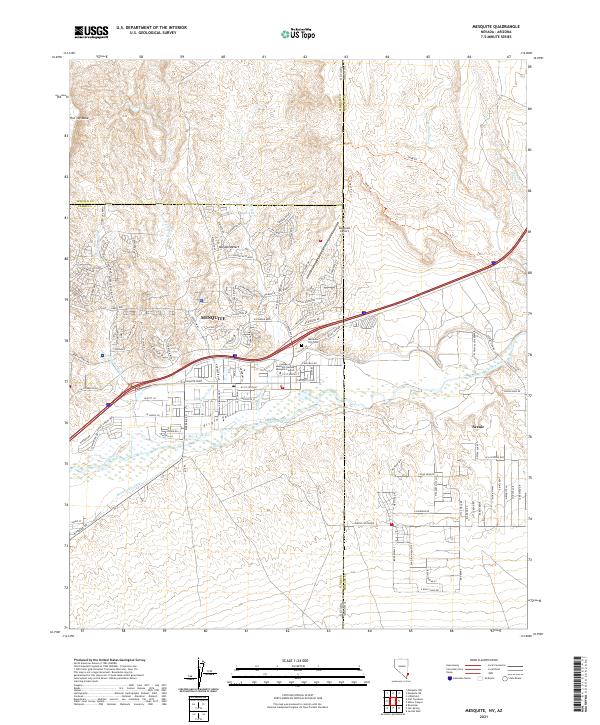
Mesquite sits at the intersection of desert plateaus and the fertile Virgin Valley in this modern survey. The town center is defined by local institutions like the College of Southern Nevada Mesquite Center and the Mesquite City Cem, while the surrounding landscape reveals the complex water management required in the Mojave Desert. The Virgin River and the Bunkerville Ditch trace the low-lying valley floor, contrasted sharply by the rising heights of Flat Top Mesa to the northwest.
Find a feature on this map
51 named features on this map. Tap any name to fly to it.
Don’t see what you’re looking for? This feature index may not catch every label — zoom into the map to look around manually.
Map Details
Date Portrayed2021
Date Published2021
PublisherU.S. Geological Survey
Map TypeTopographic
Scale1:24000
Physical Dimensions24 x 29 inches
Editions of this 2021 Mesquite Map
This is the sole edition of this map. No revisions or reprints were ever made.
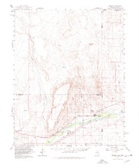
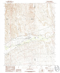
Historical Maps of Sandstone Through Time
Featured Locations
Source Details
SourceU.S. Geological Survey
CopyrightPublic Domain