Loading...
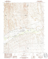
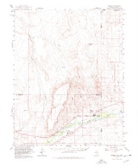
Loading map...1985 Map of Mesquite
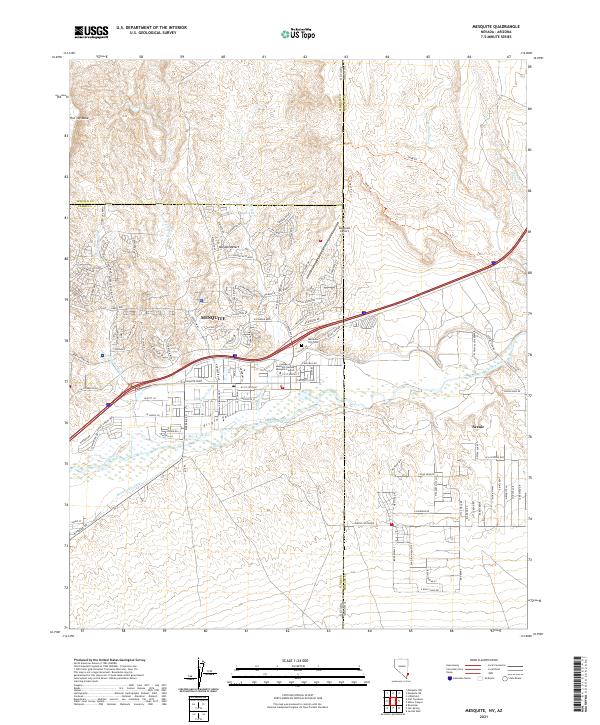
USGS Topo · Published 1985About this map
Virgin Valley serves as the focal point for agricultural and town development in this 1980s-era study of the tri-state border region. The landscape is defined by the vital waters of the Virgin River, which supports the adjacent settlements of Mesquite and Bunkerville. Irrigation is critical to the local economy, evidenced by the prominent Mesquite Flume Ditch and Bunkerville Ditch that skirt the valley floor.
Find a feature on this map
22 named features on this map. Tap any name to fly to it.
Don’t see what you’re looking for? This feature index may not catch every label — zoom into the map to look around manually.
Map Details
Date Portrayed1985
Date Published1985
PublisherU.S. Geological Survey
Map TypeTopographic
Scale1:24000
Physical Dimensions22 x 26.8 inches
Editions of this 1985 Mesquite Map
This is the sole edition of this map. No revisions or reprints were ever made.
Historical Maps of Santa Fe Vistas Through Time
Featured Locations
Source Details
SourceU.S. Geological Survey
CopyrightPublic Domain