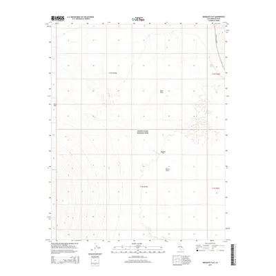
2015 Map of Mesquite Flat
USGS Topo · Published 2015About this map
Death Valley National Park encompasses this arid landscape where the floor of Death Valley meets the shifting sands of Mesquite Flat. In this northern reach of the Mojave Desert, water is a rare and critical marker, identified here by the presence of Triangle Spring. The terrain transitions from the low-lying valley floor to the unusual geologic formations of the Niter Beds in the northwest, while the vast alluvial fans are bisected by the solitary route of Scotty's Castle Rd. This 2015 survey illustrates the modern boundaries and topographic contours of one of the most extreme environments in North America, highlighting the sparse but significant network of named features that define this corner of Inyo County.
Find a feature on this map
11 named features on this map. Tap any name to fly to it.
Don’t see what you’re looking for? This feature index may not catch every label — zoom into the map to look around manually.
Map Details
Editions of this 2015 Mesquite Flat Map
This is the sole edition of this map. No revisions or reprints were ever made.
Other maps of this area

1908 · Ballarat
USGS Topo · 1:250,000

1913 · Ballarat
USGS Topo · 1:250,000

1948 · Death Valley
USGS Topo · 1:250,000

1951 · Marble Canyon
USGS Topo · 1:62,500

1952 · Stovepipe Wells
USGS Topo · 1:62,500

1954 · Death Valley
USGS Topo · 1:250,000

1956 · Death Valley
USGS Topo · 1:250,000

1957 · Death Valley
USGS Topo · 1:250,000
1957 · Grapevine Peak
USGS Topo · 1:62,500

1957 · Tin Mountain
USGS Topo · 1:62,500