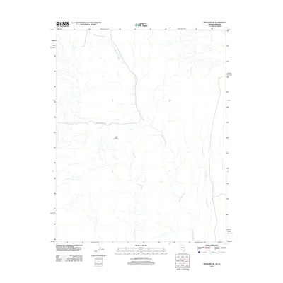
2012 Map of Mesquite NE
USGS Topo · Published 2012About this map
Lone Mesa rises as a central landmark within this Mohave County landscape, where an intricate network of desert drainage systems defines the topography. The terrain is characterized by the long reaches of Sand Hollow Wash, which snakes southeast toward the Coon Creek corridor. Human infrastructure is minimal in this arid expanse, primarily represented by the Sand Hollow Wash Rd cutting through the center of the sheet. The map illustrates a high-desert environment where seasonal watercourses like Town Wash shape the land, providing a detailed record of the natural hydrology and elevation patterns of the Arizona-Nevada borderlands in the early 21st century.
Find a feature on this map
5 named features on this map. Tap any name to fly to it.
Don’t see what you’re looking for? This feature index may not catch every label — zoom into the map to look around manually.
Map Details
Editions of this 2012 Mesquite NE Map
This is the sole edition of this map. No revisions or reprints were ever made.
Other maps of this area

1885 · St. George
USGS Topo · 1:250,000

1885 · Pioche
USGS Topo · 1:250,000

1886 · Saint Thomas
USGS Topo · 1:250,000

1886 · Mt. Trumbull
USGS Topo · 1:250,000

1886 · Pioche
USGS Topo · 1:250,000

1891 · St. George
USGS Topo · 1:250,000

1892 · Mt. Trumbull
USGS Topo · 1:250,000

1893 · Saint Thomas
USGS Topo · 1:250,000

1953 · Cedar City
USGS Topo · 1:250,000

1953 · Grand Canyon
USGS Topo · 1:250,000