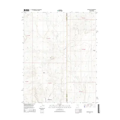
2014 Map of Mesquite NE
USGS Topo · Published 2014About this map
Mesquite anchors the southern edge of this quadrangle, situated where the arid plains of the Mojave Desert meet the rugged drainage systems of the Virgin River valley. The terrain is defined by a network of seasonal watercourses, including the prominent Sand Hollow Wash and Town Wash, which carve deep channels through the landscape. These desert washes converge toward the settlement, illustrating the historical reliance on natural drainage patterns for early road placement and land division.
Find a feature on this map
19 named features on this map. Tap any name to fly to it.
Don’t see what you’re looking for? This feature index may not catch every label — zoom into the map to look around manually.
Map Details
Editions of this 2014 Mesquite NE Map
This is the sole edition of this map. No revisions or reprints were ever made.
Other maps of this area

1885 · St. George
USGS Topo · 1:250,000

1885 · Pioche
USGS Topo · 1:250,000

1886 · Saint Thomas
USGS Topo · 1:250,000

1886 · Mt. Trumbull
USGS Topo · 1:250,000

1886 · Pioche
USGS Topo · 1:250,000

1891 · St. George
USGS Topo · 1:250,000

1892 · Mt. Trumbull
USGS Topo · 1:250,000

1893 · Saint Thomas
USGS Topo · 1:250,000

1953 · Cedar City
USGS Topo · 1:250,000

1953 · Grand Canyon
USGS Topo · 1:250,000