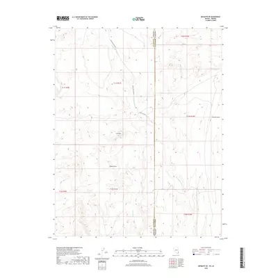
2018 Map of Mesquite NE
USGS Topo · Published 2018About this map
Lone Mesa rises as a prominent landmark in this arid stretch of the eastern Mojave Desert, where the landscape is defined by the drainage patterns of seasonal watercourses. The state boundary between Arizona and Nevada runs vertically through the center of the survey, separating Mohave County from Lincoln County. This political divide is overlaid upon a rugged terrain carved by the Sand Hollow Wash and Town Wash, which trend generally southward toward the Virgin River valley. This 2018 survey documents the minimalist transportation infrastructure of the region, including the graded Sand Hollow Wash Rd and the utilitarian Phone Cable Rd. The map provides a precise record of the Public Land Survey System grid, illustrating how section lines and township boundaries like t41n r16w were established across the winding paths of Coon Cr and Big Bend Wash.
Find a feature on this map
16 named features on this map. Tap any name to fly to it.
Don’t see what you’re looking for? This feature index may not catch every label — zoom into the map to look around manually.
Map Details
Editions of this 2018 Mesquite NE Map
This is the sole edition of this map. No revisions or reprints were ever made.
Other maps of this area

1885 · St. George
USGS Topo · 1:250,000

1885 · Pioche
USGS Topo · 1:250,000

1886 · Saint Thomas
USGS Topo · 1:250,000

1886 · Mt. Trumbull
USGS Topo · 1:250,000

1886 · Pioche
USGS Topo · 1:250,000

1891 · St. George
USGS Topo · 1:250,000

1892 · Mt. Trumbull
USGS Topo · 1:250,000

1893 · Saint Thomas
USGS Topo · 1:250,000

1953 · Cedar City
USGS Topo · 1:250,000

1953 · Grand Canyon
USGS Topo · 1:250,000