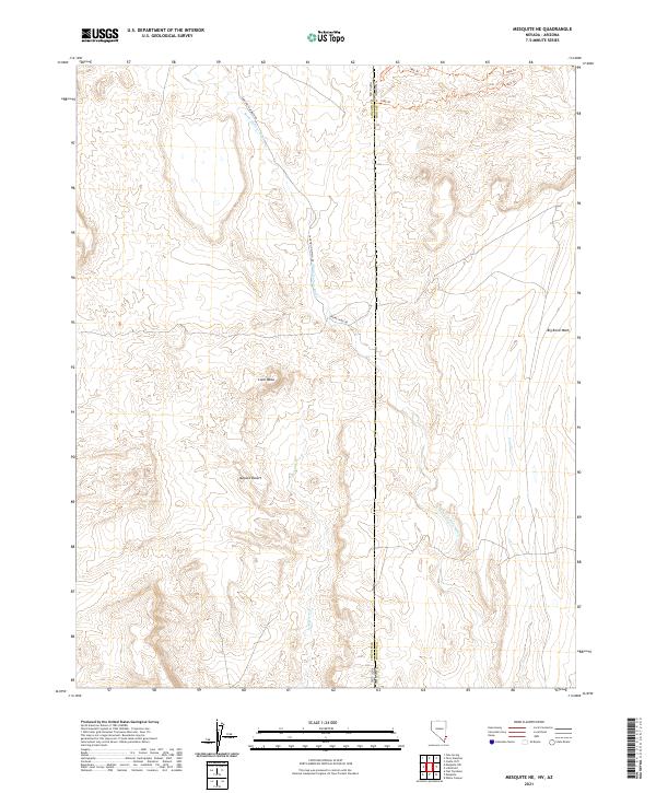
2021 Map of Mesquite NE
USGS Topo · Published 2021About this map
Lone Mesa rises above the arid landscape where the border of Nevada and Arizona meets, marking a transition point between high ground and the drainage basins of the Mojave Desert. This terrain is defined by a network of seasonal watercourses, most notably Sand Hollow Wash and Town Wash, which carve through the desert floor. The map highlights the sparse infrastructure of this remote boundary area, including utility corridors like Phone Cable Rd and a series of historical tracks such as 1866 Trl and 1865 Trl in the northern section. The convergence of Lincoln County, Nevada and Mohave County, Arizona provides a clear view of how political boundaries bisect this natural landscape, where drainage from Coon Cr and Big Bend Wash flows through the complex topography east of the state line.
Find a feature on this map
18 named features on this map. Tap any name to fly to it.
Don’t see what you’re looking for? This feature index may not catch every label — zoom into the map to look around manually.
Map Details
Editions of this 2021 Mesquite NE Map
This is the sole edition of this map. No revisions or reprints were ever made.
Other maps of this area

1885 · St. George
USGS Topo · 1:250,000

1885 · Pioche
USGS Topo · 1:250,000

1886 · Saint Thomas
USGS Topo · 1:250,000

1886 · Mt. Trumbull
USGS Topo · 1:250,000

1886 · Pioche
USGS Topo · 1:250,000

1891 · St. George
USGS Topo · 1:250,000

1892 · Mt. Trumbull
USGS Topo · 1:250,000

1893 · Saint Thomas
USGS Topo · 1:250,000

1953 · Cedar City
USGS Topo · 1:250,000

1953 · Grand Canyon
USGS Topo · 1:250,000