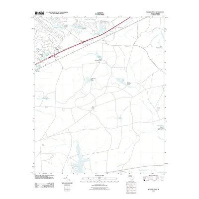
2011 Map of Messers Pond
USGS Topo · Published 2011About this map
Colonels Creek and its many tributaries define this Richland County landscape, characterized by a complex network of man-made impoundments and rural residential developments. Small settlements like Bells Camp and Chimney Ridge are situated near the headwaters of these drainages, where several dammed features including Rotureau Lake, Coopers Lake, and Messers Pond indicate a history of local water management. The presence of Salem Cemetery and Mount Pleasant Cemetery provides essential geographic anchors for genealogists researching family ties in this part of South Carolina.
Find a feature on this map
69 named features on this map. Tap any name to fly to it.
Don’t see what you’re looking for? This feature index may not catch every label — zoom into the map to look around manually.
Map Details
Editions of this 2011 Messers Pond Map
This is the sole edition of this map. No revisions or reprints were ever made.
Other maps of this area

1935 · Killian
USGS Topo · 1:48,000

1937 · Killian
USGS Topo · 1:62,500

1938 · Hagood
USGS Topo · 1:62,500

1941 · Spartanburg
USGS Topo · 1:250,000

1942 · Camden
USGS Topo · 1:125,000

1943 · Eastover
USGS Topo · 1:62,500

1948 · Hopkins
USGS Topo · 1:62,500

1953 · Messers Pond
USGS Topo · 1:24,000

1953 · Fort Jackson South
USGS Topo · 1:24,000

1953 · Blythewood
USGS Topo · 1:24,000