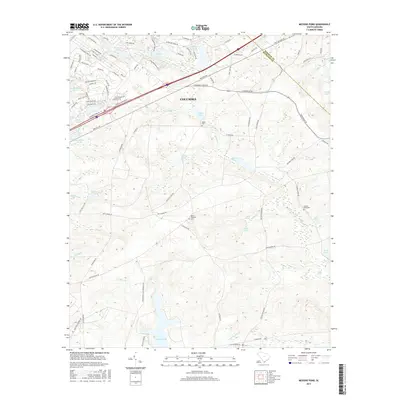
2017 Map of Messers Pond
USGS Topo · Published 2017About this map
The northeastern reaches of Columbia meet the headwaters of the coastal plain in this detailed topographic study of Richland and Kershaw Counties. The landscape is defined by an intricate network of managed water bodies and natural drainage, where Colonels Cr and Spears Cr feed a series of catchments including Messers Pond and Old Barstow Pond. This area represents a point of suburban expansion near Fort Jackson, where modern residential developments like Woodcreek Farms intersect with long-standing family and community landmarks. Genealogists will find several small burial sites preserved amidst the shifting land use, notably the Salem Cem, Mount Pleasant Cem, and the secluded Bardell Graveyard. The terrain transitions from the developed corridors of Clemson Rd and Percival Rd into the wetland environments of Wise Marsh and Noahs Marsh to the southeast.
Find a feature on this map
100 named features on this map. Tap any name to fly to it.
Don’t see what you’re looking for? This feature index may not catch every label — zoom into the map to look around manually.
Map Details
Editions of this 2017 Messers Pond Map
This is the sole edition of this map. No revisions or reprints were ever made.
Other maps of this area

1935 · Killian
USGS Topo · 1:48,000

1937 · Killian
USGS Topo · 1:62,500

1938 · Hagood
USGS Topo · 1:62,500

1941 · Spartanburg
USGS Topo · 1:250,000

1942 · Camden
USGS Topo · 1:125,000

1943 · Eastover
USGS Topo · 1:62,500

1948 · Hopkins
USGS Topo · 1:62,500

1953 · Messers Pond
USGS Topo · 1:24,000

1953 · Fort Jackson South
USGS Topo · 1:24,000

1953 · Blythewood
USGS Topo · 1:24,000