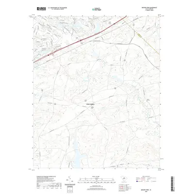
2020 Map of Messers Pond
USGS Topo · Published 2020About this map
The outskirts of Columbia are defined by a network of creeks and man-made impoundments that separate residential expansion from the training grounds of Fort Jackson. This 2020 landscape illustrates the shift from agricultural use to modern development, where newer neighborhoods around Rotureau Lake and Coopers Lake contrast with the established military corridors. Natural features such as the wetlands of Wise Marsh and Noahs Marsh remain prominent, providing a glimpse into the original hydrology of the Sandhills region.
Find a feature on this map
98 named features on this map. Tap any name to fly to it.
Don’t see what you’re looking for? This feature index may not catch every label — zoom into the map to look around manually.
Map Details
Editions of this 2020 Messers Pond Map
This is the sole edition of this map. No revisions or reprints were ever made.
Other maps of this area

1935 · Killian
USGS Topo · 1:48,000

1937 · Killian
USGS Topo · 1:62,500

1938 · Hagood
USGS Topo · 1:62,500

1941 · Spartanburg
USGS Topo · 1:250,000

1942 · Camden
USGS Topo · 1:125,000

1943 · Eastover
USGS Topo · 1:62,500

1948 · Hopkins
USGS Topo · 1:62,500

1953 · Messers Pond
USGS Topo · 1:24,000

1953 · Fort Jackson South
USGS Topo · 1:24,000

1953 · Blythewood
USGS Topo · 1:24,000