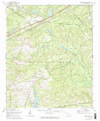
1972 Map of Messers Pond
USGS Topo · Published 1973About this map
The Fort Jackson Military Reservation dominates this 1970s landscape, illustrating the extensive military presence in Richland County. The terrain is defined by a complex network of training grounds and infrastructure, including numerous Observation Posts and specialized routes such as Johnson Rifle Road and Dixie Road. Beyond the federal boundary, the map captures the rural and early industrial character of the area through several claypits and a Gravel Pit, pointing toward the local extractive economy of the period.
Find a feature on this map
51 named features on this map. Tap any name to fly to it.
Don’t see what you’re looking for? This feature index may not catch every label — zoom into the map to look around manually.
Map Details
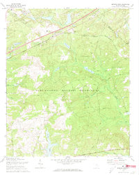
Editions of this 1972 Messers Pond Map
2 editions found
Other maps of this area

1935 · Killian
USGS Topo · 1:48,000

1937 · Killian
USGS Topo · 1:62,500

1938 · Hagood
USGS Topo · 1:62,500

1941 · Spartanburg
USGS Topo · 1:250,000

1942 · Camden
USGS Topo · 1:125,000

1943 · Eastover
USGS Topo · 1:62,500

1948 · Hopkins
USGS Topo · 1:62,500

1953 · Messers Pond
USGS Topo · 1:24,000

1953 · Fort Jackson South
USGS Topo · 1:24,000

1953 · Blythewood
USGS Topo · 1:24,000