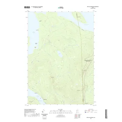
2021 Map of Metallak Mountain
USGS Topo · Published 2021About this map
The Appalachian National Scenic Trail winds through this high-elevation landscape in Franklin and Oxford Counties, tracing the ridgelines of Bemis Mtn and Elephant Mtn. This region is defined by the expansive waters of Upper Richardson Lake and Lower Richardson Lake, which are connected at the small settlement of South Arm. The terrain is marked by prominent peaks such as Metallak Mtn and Old Blue Mtn, as well as several large islands including Toothaker Island and Metallak Island.
Find a feature on this map
36 named features on this map. Tap any name to fly to it.
Don’t see what you’re looking for? This feature index may not catch every label — zoom into the map to look around manually.
Map Details
Editions of this 2021 Metallak Mountain Map
This is the sole edition of this map. No revisions or reprints were ever made.
Other maps of this area

1927 · Rumford
USGS Topo · 1:48,000

1930 · Rumford
USGS Topo · 1:62,500

1933 · Rangeley
USGS Topo · 1:48,000

1939 · Rangeley
USGS Topo · 1:62,500

1940 · Oquossoc
USGS Topo · 1:62,500

1942 · Oquossoc
USGS Topo · 1:62,500

1943 · Old Speck Mtn
USGS Topo · 1:62,500

1945 · Old Speck Mtn
USGS Topo · 1:62,500

1949 · Rangeley
USGS Topo · 1:62,500

1950 · Lewiston
USGS Topo · 1:250,000