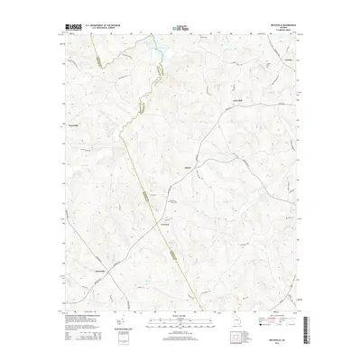
2014 Map of Metasville
USGS Topo · Published 2014About this map
Metasville and the surrounding rural communities of Goshen and Sybert sit along the dividing line between Lincoln and Wilkes counties. This landscape is defined by the extensive drainage systems feeding into the J. Storm Thurmond Reservoir to the north, including named waterways like Soap Creek and Florence Creek. The map provides a detailed look at the local road network and family history landmarks, including several rural burial grounds such as Anthonys Chapel Cem and Midway Cem.
Find a feature on this map
55 named features on this map. Tap any name to fly to it.
Don’t see what you’re looking for? This feature index may not catch every label — zoom into the map to look around manually.
Map Details
Editions of this 2014 Metasville Map
This is the sole edition of this map. No revisions or reprints were ever made.
Other maps of this area

1892 · Mc Cormick
USGS Topo · 1:125,000

1906 · Crawfordville
USGS Topo · 1:125,000

1912 · Mc Cormick
USGS Topo · 1:125,000

1921 · Appling
USGS Topo · 1:62,500

1943 · Appling
USGS Topo · 1:62,500

1953 · Athens
USGS Topo · 1:250,000

1954 · Metasville
USGS Topo · 1:24,000

1955 · Tignall
USGS Topo · 1:24,000

1955 · Broad
USGS Topo · 1:24,000

1955 · Chennault
USGS Topo · 1:24,000