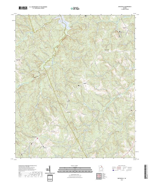
2024 Map of Metasville
USGS Topo · Published 2024About this map
The rolling landscape of eastern Georgia is defined here by the boundary between Lincoln Co Wilkes Co, where small rural communities like Metasville and Lovelace anchor a network of country roads. To the north, the waters of the J. Strom Thurmond Reservoir reach into the terrain via Fishing Creek, illustrating the modern management of the Savannah River basin. The geography is deeply tied to its spiritual and genealogical roots, evidenced by numerous burial grounds such as Rehoboth Baptist Cem and Anthonys Chapel Cem.
Find a feature on this map
64 named features on this map. Tap any name to fly to it.
Don’t see what you’re looking for? This feature index may not catch every label — zoom into the map to look around manually.
Map Details
Editions of this 2024 Metasville Map
This is the sole edition of this map. No revisions or reprints were ever made.
Other maps of this area

1892 · Mc Cormick
USGS Topo · 1:125,000

1906 · Crawfordville
USGS Topo · 1:125,000

1912 · Mc Cormick
USGS Topo · 1:125,000

1921 · Appling
USGS Topo · 1:62,500

1943 · Appling
USGS Topo · 1:62,500

1953 · Athens
USGS Topo · 1:250,000

1954 · Metasville
USGS Topo · 1:24,000

1955 · Tignall
USGS Topo · 1:24,000

1955 · Broad
USGS Topo · 1:24,000

1955 · Chennault
USGS Topo · 1:24,000