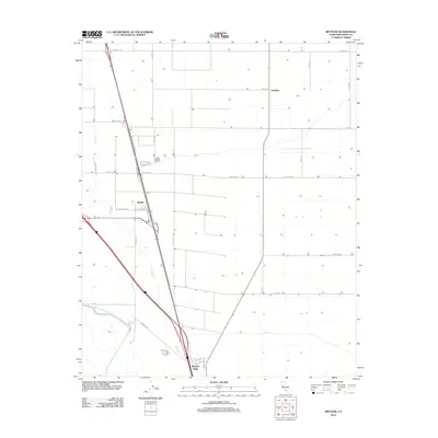
2012 Map of Mettler
USGS Topo · Published 2012About this map
Wheeler Ridge stands at the southern terminus of the San Joaquin Valley, where the flat agricultural plains meet the rising foothills. This landscape is defined by its rectilinear grid of farm roads and massive irrigation infrastructure, most notably the Governor Edmund G Brown California Aqueduct and the 850 Canal. The settlement of Mettler serves as a central hub at the junction of major transit corridors like the Mettler Frontage Rd E, surrounded by expansive fields and named routes such as Valpredo Ave and Sandrini Rd. Seasonal drainage patterns are visible through the course of Tecuya Cr, which winds toward the more sparsely settled area near Meridian. The map illustrates the intensive water management and large-scale farming operations that characterize this part of Kern County in the early 21st century.
Find a feature on this map
26 named features on this map. Tap any name to fly to it.
Don’t see what you’re looking for? This feature index may not catch every label — zoom into the map to look around manually.
Map Details
Editions of this 2012 Mettler Map
This is the sole edition of this map. No revisions or reprints were ever made.
Other maps of this area

1903 · Mt. Pinos
USGS Topo · 1:125,000

1903 · Tejon
USGS Topo · 1:125,000

1910 · Buena Vista Lake
USGS Topo · 1:125,000

1912 · Buena Vista Lake
USGS Topo · 1:125,000

1914 · Caliente
USGS Topo · 1:125,000

1930 · Weed Patch
USGS Topo · 1:31,680

1930 · Arvin
USGS Topo · 1:31,680

1930 · Conner
USGS Topo · 1:31,680

1931 · West of Tejon Hills
USGS Topo · 1:31,680

1931 · Tejon Hills
USGS Topo · 1:31,680