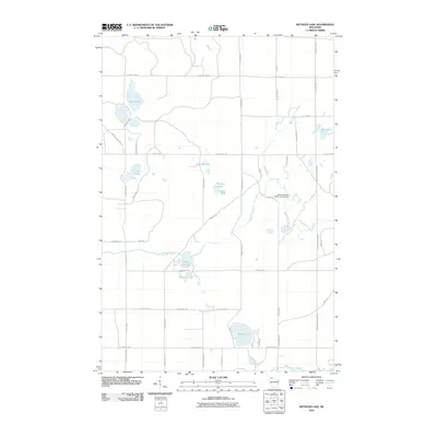
2010 Map of Metzger Lake
USGS Topo · Published 2010About this map
Solon Springs Municipal Airport and Camp Bovey anchor the northern landscape of this Douglas County region, where glacial kettle lakes and wetland drainages dominate the geography. The terrain is defined by an intricate network of waterways, including Metzger Lake, the Twin Lakes, and Simms Lake, which feed into various branches of Upper Ox Creek and Lower Ox Creek. This area of Northwest Wisconsin shows a transition from clustered forest recreation to the more open drainage of the Eau Claire River seen at the southern edge. Local transportation is facilitated by named rural routes such as S County Hwy A and S Simms Lake Rd, providing access to isolated camps and waterfront properties. The map captures the specialized land use of the early 21st century, balancing municipal aviation infrastructure with seasonal recreation at sites like Upper Ox Lake and Swenson Lake.
Find a feature on this map
51 named features on this map. Tap any name to fly to it.
Don’t see what you’re looking for? This feature index may not catch every label — zoom into the map to look around manually.
Map Details
Editions of this 2010 Metzger Lake Map
This is the sole edition of this map. No revisions or reprints were ever made.
Other maps of this area

1945 · Highland
USGS Topo · 1:48,000

1945 · Solon Springs
USGS Topo · 1:48,000

1947 · Chittamo
USGS Topo · 1:48,000

1947 · Minong
USGS Topo · 1:48,000

1949 · Solon Springs
USGS Topo · 1:48,000

1949 · Chittamo
USGS Topo · 1:48,000

1949 · Minong
USGS Topo · 1:48,000

1949 · Highland
USGS Topo · 1:48,000

1953 · Ashland
USGS Topo · 1:250,000

1958 · Ashland
USGS Topo · 1:250,000