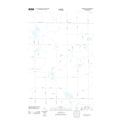
2013 Map of Metzger Lake
USGS Topo · Published 2013About this map
Camp Bovey sits along the southern shore of Metzger Lake, marking a localized pocket of activity in this northern Wisconsin woodland. This region is defined by its intricate hydrography, where the Eau Claire River meanders through the southern portion of the quadrangle while smaller tributaries like Upper Ox Cr and Lower Ox Cr weave through the glacial terrain. The map reveals a high density of water bodies, ranging from the prominent Whiteside Lake and Twin Lakes to smaller basins like Swenson Lake and Little Simms Lake.
Find a feature on this map
53 named features on this map. Tap any name to fly to it.
Don’t see what you’re looking for? This feature index may not catch every label — zoom into the map to look around manually.
Map Details
Editions of this 2013 Metzger Lake Map
This is the sole edition of this map. No revisions or reprints were ever made.
Other maps of this area

1945 · Highland
USGS Topo · 1:48,000

1945 · Solon Springs
USGS Topo · 1:48,000

1947 · Chittamo
USGS Topo · 1:48,000

1947 · Minong
USGS Topo · 1:48,000

1949 · Solon Springs
USGS Topo · 1:48,000

1949 · Chittamo
USGS Topo · 1:48,000

1949 · Minong
USGS Topo · 1:48,000

1949 · Highland
USGS Topo · 1:48,000

1953 · Ashland
USGS Topo · 1:250,000

1958 · Ashland
USGS Topo · 1:250,000