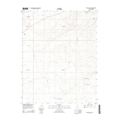
2014 Map of Mexican Hat SW
USGS Topo · Published 2014About this map
Halchita stands as a primary focal point in this high-desert landscape of San Juan County, positioned just north of the winding Gypsum Creek and Stagecoach Wash. The map documents a terrain defined by complex drainage systems and isolated transport infrastructure, notably the A Z Minerals Corporation Airport situated along Us-163. This industrial aviation link highlights the region's connection to mineral extraction and remote logistics.
Find a feature on this map
20 named features on this map. Tap any name to fly to it.
Don’t see what you’re looking for? This feature index may not catch every label — zoom into the map to look around manually.
Map Details
Editions of this 2014 Mexican Hat SW Map
This is the sole edition of this map. No revisions or reprints were ever made.
Other maps of this area

1883 · Marsh Pass
USGS Topo · 1:250,000

1886 · Henry Mountains
USGS Topo · 1:250,000

1886 · Abajo
USGS Topo · 1:250,000

1892 · Marsh Pass
USGS Topo · 1:250,000

1892 · Abajo
USGS Topo · 1:250,000

1892 · Henry Mountains
USGS Topo · 1:250,000

1892 · Canyon De Chelly
USGS Topo · 1:250,000

1893 · Abajo
USGS Topo · 1:250,000

1952 · Bluff 3 SE
USGS Topo · 1:24,000

1952 · Dinnehotso
USGS Topo · 1:62,500