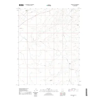
2020 Map of Mexican Hat SW
USGS Topo · Published 2020About this map
The A Z Minerals Corporation Airport anchors the northern portion of this San Juan County landscape, situated along Old Airport Rd and Route 163. This arid region is defined by a complex network of seasonal drainages, including Douglas Wash and Halgaitoh Wash, which shape the local topography. The presence of Halgaitoh Spring near Indian Rte 6480 highlights a vital water source in this desert environment.
Find a feature on this map
15 named features on this map. Tap any name to fly to it.
Don’t see what you’re looking for? This feature index may not catch every label — zoom into the map to look around manually.
Map Details
Editions of this 2020 Mexican Hat SW Map
This is the sole edition of this map. No revisions or reprints were ever made.
Other maps of this area

1883 · Marsh Pass
USGS Topo · 1:250,000

1886 · Henry Mountains
USGS Topo · 1:250,000

1886 · Abajo
USGS Topo · 1:250,000

1892 · Marsh Pass
USGS Topo · 1:250,000

1892 · Abajo
USGS Topo · 1:250,000

1892 · Henry Mountains
USGS Topo · 1:250,000

1892 · Canyon De Chelly
USGS Topo · 1:250,000

1893 · Abajo
USGS Topo · 1:250,000

1952 · Bluff 3 SE
USGS Topo · 1:24,000

1952 · Dinnehotso
USGS Topo · 1:62,500