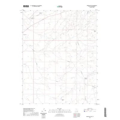
2023 Map of Mexican Hat SW
USGS Topo · Published 2023About this map
Halchita stands as the primary settlement in this corner of San Juan County, situated near the A Z Minerals Corporation Airport and its accompanying Old Airport Rd. The landscape is defined by an intricate network of drainage systems, including the prominent Gypsum Creek and several significant washes such as Douglas Wash and Halgaitoh Wash. Local water sources like Halgaitoh Spring provide critical points of interest in an otherwise arid terrain.
Find a feature on this map
14 named features on this map. Tap any name to fly to it.
Don’t see what you’re looking for? This feature index may not catch every label — zoom into the map to look around manually.
Map Details
Editions of this 2023 Mexican Hat SW Map
This is the sole edition of this map. No revisions or reprints were ever made.
Other maps of this area

1883 · Marsh Pass
USGS Topo · 1:250,000

1886 · Henry Mountains
USGS Topo · 1:250,000

1886 · Abajo
USGS Topo · 1:250,000

1892 · Marsh Pass
USGS Topo · 1:250,000

1892 · Abajo
USGS Topo · 1:250,000

1892 · Henry Mountains
USGS Topo · 1:250,000

1892 · Canyon De Chelly
USGS Topo · 1:250,000

1893 · Abajo
USGS Topo · 1:250,000

1952 · Bluff 3 SE
USGS Topo · 1:24,000

1952 · Dinnehotso
USGS Topo · 1:62,500