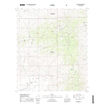
2018 Map of Mica Mountain
USGS Topo · Published 2018About this map
Saguaro National Park and the Coronado National Forest converge at this high-altitude junction in the Rincon Mountains. The landscape is dominated by the massive profile of Mica Mtn, rising above a complex network of ridges like Tanque Verde Ridge and deep drainages including Madrona Canyon and Chimenea Canyon. This environment is characterized by a high density of vital water sources in an otherwise arid region, with numerous named seeps such as Spud Rock Spring, Grass Shack Spring, and Italian Spring providing critical waypoints.
Find a feature on this map
58 named features on this map. Tap any name to fly to it.
Don’t see what you’re looking for? This feature index may not catch every label — zoom into the map to look around manually.
Map Details
Editions of this 2018 Mica Mountain Map
This is the sole edition of this map. No revisions or reprints were ever made.
Other maps of this area

1904 · Tucson
USGS Topo · 1:125,000

1905 · Tucson
USGS Topo · 1:125,000

1945 · Redington
USGS Topo · 1:62,500

1945 · Happy Valley
USGS Topo · 1:62,500

1956 · Tucson
USGS Topo · 1:250,000

1957 · Bellota Ranch
USGS Topo · 1:62,500

1957 · Rincon Valley
USGS Topo · 1:62,500

1957 · Redington
USGS Topo · 1:62,500

1958 · Tucson
USGS Topo · 1:250,000

1958 · Happy Valley
USGS Topo · 1:62,500