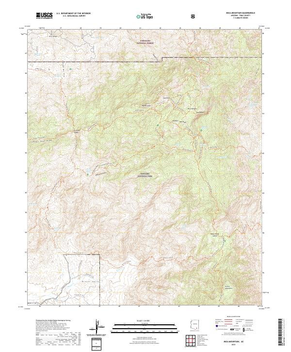
2021 Map of Mica Mountain
USGS Topo · Published 2021About this map
Mica Mtn dominates this high-elevation landscape within the Saguaro National Park and Coronado National Forest. This 2021 survey illustrates a region where water sources are vital to the topography, marked by numerous high-altitude seeps and springs such as Douglas Camp Spring, Italian Spring, and Spud Rock Spring. The map traces a complex network of footpaths including the Arizona National Scenic Trl and the Tanque Verde Ridge Trl, which provide access to significant landmarks like Helens Dome and the Mica Meadow.
Find a feature on this map
62 named features on this map. Tap any name to fly to it.
Don’t see what you’re looking for? This feature index may not catch every label — zoom into the map to look around manually.
Map Details
Editions of this 2021 Mica Mountain Map
This is the sole edition of this map. No revisions or reprints were ever made.
Other maps of this area

1904 · Tucson
USGS Topo · 1:125,000

1905 · Tucson
USGS Topo · 1:125,000

1945 · Redington
USGS Topo · 1:62,500

1945 · Happy Valley
USGS Topo · 1:62,500

1956 · Tucson
USGS Topo · 1:250,000

1957 · Bellota Ranch
USGS Topo · 1:62,500

1957 · Rincon Valley
USGS Topo · 1:62,500

1957 · Redington
USGS Topo · 1:62,500

1958 · Tucson
USGS Topo · 1:250,000

1958 · Happy Valley
USGS Topo · 1:62,500