Loading...
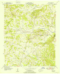
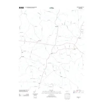
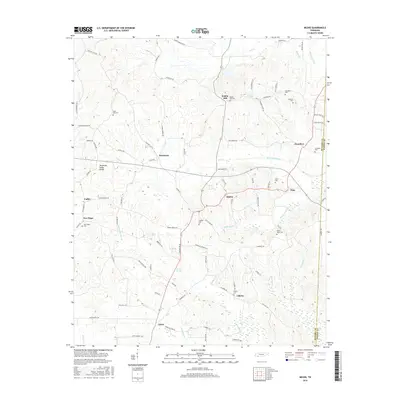
Loading map...1952 Map of Michie
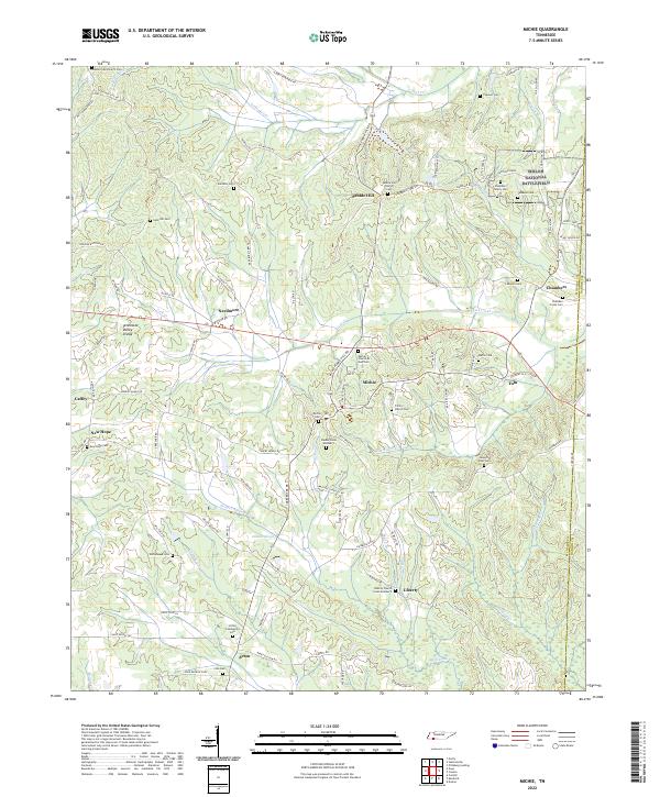
USGS Topo · Published 1952About this map
The Tennessee Valley Divide snakes through this portion of McNairy and Hardin counties, defining a landscape where drainage canals like the Lick Drainage Canal and Owl Drainage Canal were engineered to manage the low-lying waters of the West Tennessee bottomlands. The town of Michie serves as a central hub, surrounded by a network of rural schools and churches that speak to the area's mid-century community structure, including the Rushing Sch and Sand Hill Ch.
Find a feature on this map
43 named features on this map. Tap any name to fly to it.
Don’t see what you’re looking for? This feature index may not catch every label — zoom into the map to look around manually.
Map Details
Date Portrayed1952
Date Published1952
PublisherU.S. Geological Survey
Map TypeTopographic
Scale1:24,000
Physical Dimensions22 x 27.4 inches
Editions of this 1952 Michie Map
This is the sole edition of this map. No revisions or reprints were ever made.
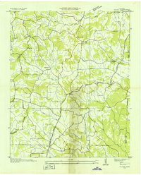
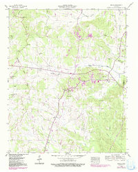
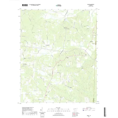
Historical Maps of Michie Through Time
8 maps found
Featured Locations
Source Details
SourceU.S. Geological Survey
CopyrightPublic Domain