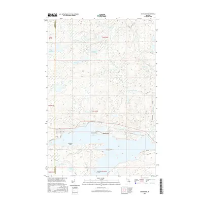
2017 Map of Michigamme
USGS Topo · Published 2017About this map
Michigamme sits on the northern shore of its namesake Lake Michigamme, a vast water body defined by complex shorelines and prominent landforms like Sundstrum Island and Ramsay Island. This 2017 study details a landscape heavily influenced by glacial water systems, from the sprawling southern lake to smaller northern basins like Lake Keewaydin and Indian Lake. The Peshekee River and its multiple branches, including the West Branch Peshekee River, carve through the Upper Peninsula terrain, creating features such as Dee Lundeen Falls.
Find a feature on this map
53 named features on this map. Tap any name to fly to it.
Don’t see what you’re looking for? This feature index may not catch every label — zoom into the map to look around manually.
Map Details
Editions of this 2017 Michigamme Map
This is the sole edition of this map. No revisions or reprints were ever made.
Other maps of this area

1899 · Witbeck
USGS Topo · 1:62,500

1955 · Champion
USGS Topo · 1:24,000

1955 · Witch Lake NE
USGS Topo · 1:24,000

1955 · Republic
USGS Topo · 1:62,500

1955 · Republic
USGS Topo · 1:24,000

1955 · Witch Lake
USGS Topo · 1:62,500

1955 · Champion
USGS Topo · 1:62,500

1956 · Three Lakes
USGS Topo · 1:24,000

1956 · Michigamme
USGS Topo · 1:62,500

1956 · Michigamme
USGS Topo · 1:24,000