
1956 Map of Michigamme
USGS Topo · Published 1957About this map
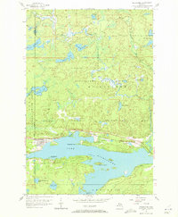
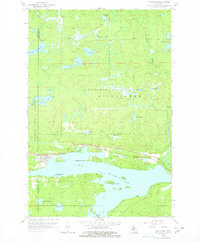
Lake Michigamme dominates this mid-century landscape of the Upper Peninsula, where the rugged terrain is defined by an intricate network of glacial lakes and dense woodlands. The village of Michigamme sits on the northwestern shore, serving as a focal point for local life and transportation. This area is bisected by the Duluth South Shore and Atlantic railroad, which runs parallel to the shoreline, underscoring the era's reliance on rail for moving timber and minerals through the northern woods.
Find a feature on this map
28 named features on this map. Tap any name to fly to it.
Don’t see what you’re looking for? This feature index may not catch every label — zoom into the map to look around manually.
Map Details
Editions of this 1956 Michigamme Map
3 editions found
Other maps of this area

1899 · Witbeck
USGS Topo · 1:62,500

1955 · Champion
USGS Topo · 1:24,000

1955 · Witch Lake NE
USGS Topo · 1:24,000

1955 · Republic
USGS Topo · 1:62,500

1955 · Republic
USGS Topo · 1:24,000

1955 · Witch Lake
USGS Topo · 1:62,500

1955 · Champion
USGS Topo · 1:62,500

1956 · Three Lakes
USGS Topo · 1:24,000

1956 · Michigamme
USGS Topo · 1:62,500

1958 · Marquette
USGS Topo · 1:250,000