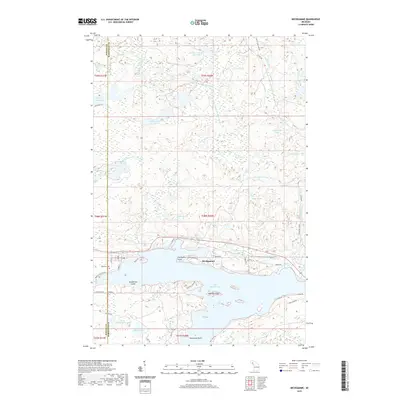
2019 Map of Michigamme
USGS Topo · Published 2019About this map
Lake Michigamme dominates the southern reaches of this landscape, its complex shoreline defined by prominent landmarks like Presbytery Point and Cardinal Point. The village of Michigamme sits along the northern banks, where the residential grid meets the water near Lakeview Cem. This region on the border of Baraga and Marquette counties is a dense network of waterways and wetlands, notably the winding Peshekee River and its branches which drain the northern highlands. Local geography is shaped by numerous smaller basins such as Lake Sixteen, Arsenault Lake, and Indian Lake. Landforms such as Sundstrum Island and Ramsay Island break the surface of the larger lakes, while Dee Lundeen Falls marks a distinctive point along the West Branch Peshekee River. The map also details a network of secondary routes and named roads, including Huron Bay Grade and Co RD 607, providing a modern view of this Upper Peninsula landscape.
Find a feature on this map
53 named features on this map. Tap any name to fly to it.
Don’t see what you’re looking for? This feature index may not catch every label — zoom into the map to look around manually.
Map Details
Editions of this 2019 Michigamme Map
This is the sole edition of this map. No revisions or reprints were ever made.
Other maps of this area

1899 · Witbeck
USGS Topo · 1:62,500

1955 · Champion
USGS Topo · 1:24,000

1955 · Witch Lake NE
USGS Topo · 1:24,000

1955 · Republic
USGS Topo · 1:62,500

1955 · Republic
USGS Topo · 1:24,000

1955 · Witch Lake
USGS Topo · 1:62,500

1955 · Champion
USGS Topo · 1:62,500

1956 · Three Lakes
USGS Topo · 1:24,000

1956 · Michigamme
USGS Topo · 1:62,500

1956 · Michigamme
USGS Topo · 1:24,000