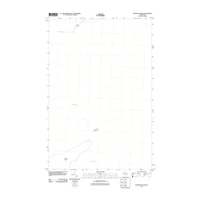
2010 Map of Michigan Island
USGS Topo · Published 2010About this map
Michigan Island and the neighboring waters of Lake Superior define this coastal landscape in the Apostle Islands region. The map documents the northern tip of Michigan Island and its relationship to the smaller landmass of Gull Island to the northeast. A prominent feature of the area is the Gull Island Light, a critical navigational aid for maritime traffic moving through these Great Lakes waters. Further north, the prominent shoreline at Sand Point marks the edge of the mainland or larger island masses, highlighting the navigational channels and natural shoreline of the early 21st century. This map focuses primarily on the maritime geography and coastal landmarks of this remote Wisconsin archipelago.
Find a feature on this map
5 named features on this map. Tap any name to fly to it.
Don’t see what you’re looking for? This feature index may not catch every label — zoom into the map to look around manually.
Map Details
Editions of this 2010 Michigan Island Map
This is the sole edition of this map. No revisions or reprints were ever made.
Other maps of this area

1953 · Ashland
USGS Topo · 1:250,000

1954 · Two Harbors
USGS Topo · 1:250,000

1957 · Two Harbors
USGS Topo · 1:250,000

1958 · Ashland
USGS Topo · 1:250,000

1958 · Two Harbors
USGS Topo · 1:250,000
1963 · Outer Island
USGS Topo · 1:62,500

1963 · Cat Island
USGS Topo · 1:24,000

1963 · Michigan Island
USGS Topo · 1:24,000

1963 · Rocky Island
USGS Topo · 1:62,500
1963 · Outer Island
USGS Topo · 1:24,000