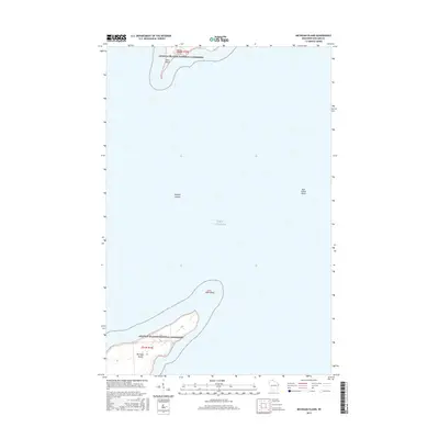
2015 Map of Michigan Island
USGS Topo · Published 2015About this map
Apostle Islands National Lakeshore encompasses the scattered landmasses of this 2015 survey, documenting the northernmost reaches of Wisconsin's archipelago in Lake Superior. The map focuses on the isolated geography of Michigan Island, Outer Island, and the smaller Gull Island, providing a precise look at these remote terrestrial points amidst the open water. On the southern tip of Outer Island, Sand Point stands as a prominent coastal landmark, while the treacherous waters of Gull Island Shoal indicate the underwater hazards surrounding these islands. This modern topographic record captures the boundaries of protected federal lands and the natural shorelines as they existed in the early twenty-first century, serving as a baseline for understanding the maritime environment and the preserved wilderness of the Apostle Islands.
Find a feature on this map
10 named features on this map. Tap any name to fly to it.
Don’t see what you’re looking for? This feature index may not catch every label — zoom into the map to look around manually.
Map Details
Editions of this 2015 Michigan Island Map
This is the sole edition of this map. No revisions or reprints were ever made.
Other maps of this area

1953 · Ashland
USGS Topo · 1:250,000

1954 · Two Harbors
USGS Topo · 1:250,000

1957 · Two Harbors
USGS Topo · 1:250,000

1958 · Ashland
USGS Topo · 1:250,000

1958 · Two Harbors
USGS Topo · 1:250,000
1963 · Outer Island
USGS Topo · 1:62,500

1963 · Cat Island
USGS Topo · 1:24,000

1963 · Michigan Island
USGS Topo · 1:24,000

1963 · Rocky Island
USGS Topo · 1:62,500
1963 · Outer Island
USGS Topo · 1:24,000