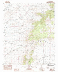
1983 Map of Mid Hills
USGS Topo · Published 1983About this map
Cima serves as a key point of reference in this arid Mojave landscape, where the Union Pacific railroad cuts through the northwest corner of the terrain. The map documents a rugged desert environment defined by seasonal drainages like Kelso Wash and Cedar Wash which descend from the high ground of the New York Mountains. Human activity is centered on isolated outposts and resource extraction, notably the Death Valley Mine and the Thomas Place ranching site.
Find a feature on this map
25 named features on this map. Tap any name to fly to it.
Don’t see what you’re looking for? This feature index may not catch every label — zoom into the map to look around manually.
Map Details
Editions of this 1983 Mid Hills Map
This is the sole edition of this map. No revisions or reprints were ever made.
Other maps of this area

1910 · Ivanpah
USGS Topo · 1:250,000

1912 · Ivanpah
USGS Topo · 1:250,000

1942 · Ivanpah
USGS Topo · 1:250,000

1947 · Kingman
USGS Topo · 1:250,000

1948 · Kingman
USGS Topo · 1:250,000

1954 · Kingman
USGS Topo · 1:250,000

1955 · Kingman
USGS Topo · 1:250,000

1955 · Mescal Range
USGS Topo · 1:62,500

1955 · Mid Hills
USGS Topo · 1:62,500

1955 · Kelso
USGS Topo · 1:62,500