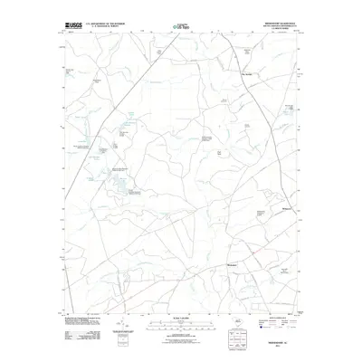
2011 Map of Middendorf
USGS Topo · Published 2011About this map
Black Creek and its many tributaries, including Ham Creek and Cow Branch, carve through the sandy terrain of Chesterfield County. The landscape is defined by its numerous small water bodies and managed impoundments, such as Lake Bee, Lake Number Sixteen, and Martins Lake. Near the northern boundary, the Ruby Lookout Tower stands as a sentinel over the surrounding woodlands, while the Wild Irish Rose Airport provides a small aviation footprint in the rural countryside near Bay Springs.
Find a feature on this map
71 named features on this map. Tap any name to fly to it.
Don’t see what you’re looking for? This feature index may not catch every label — zoom into the map to look around manually.
Map Details
Editions of this 2011 Middendorf Map
This is the sole edition of this map. No revisions or reprints were ever made.
Other maps of this area

1941 · Spartanburg
USGS Topo · 1:250,000

1953 · Spartanburg
USGS Topo · 1:250,000

1960 · Spartanburg
USGS Topo · 1:250,000

1963 · Spartanburg
USGS Topo · 1:250,000

1964 · Spartanburg
USGS Topo · 1:250,000

1967 · Angelus
USGS Topo · 1:24,000

1968 · Chesterfield
USGS Topo · 1:24,000

1968 · Patrick
USGS Topo · 1:24,000

1968 · Middendorf
USGS Topo · 1:24,000

1968 · Ruby
USGS Topo · 1:24,000