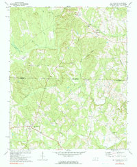
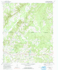
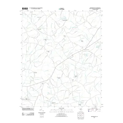
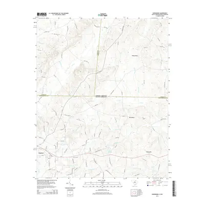
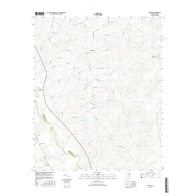
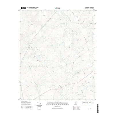
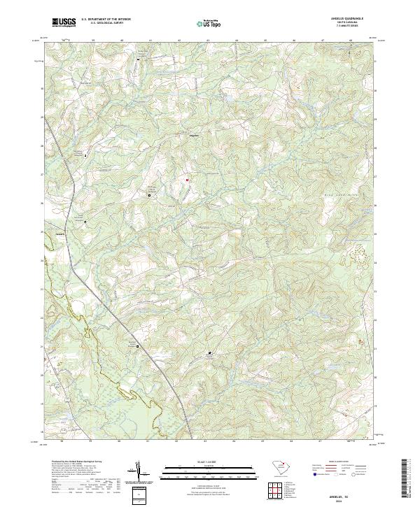
1967 Map of Angelus
USGS Topo · Published 1969About this map
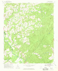
Carolina Sandhills dominate the landscape in this late 1960s survey of the border between Kershaw and Chesterfield counties. The eastern portion of the sheet is largely defined by the Carolina Sandhills National Wildlife Refuge, where a network of firebreaks and trails, including the Old State Road, cut through the wooded terrain. Scattered settlements such as Angelus and Catarrh anchor the rural infrastructure, while numerous country churches like Rocky Creek Ch and Sandy Run Ch serve the local community.
Find a feature on this map
42 named features on this map. Tap any name to fly to it.
Don’t see what you’re looking for? This feature index may not catch every label — zoom into the map to look around manually.
Map Details
Editions of this 1967 Angelus Map
This is the sole edition of this map. No revisions or reprints were ever made.
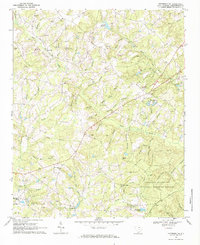
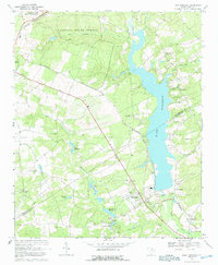
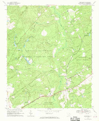
Historical Maps of Angelus Through Time
31 maps found
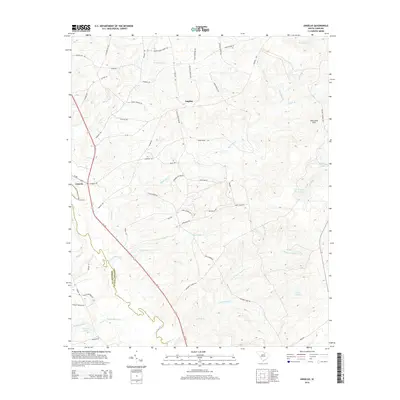
1967 Angelus
Chesterfield County, SC
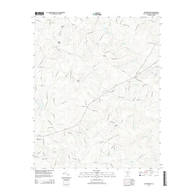
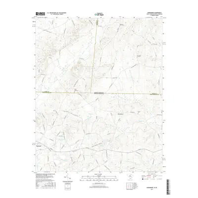
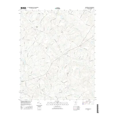
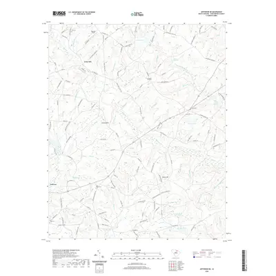
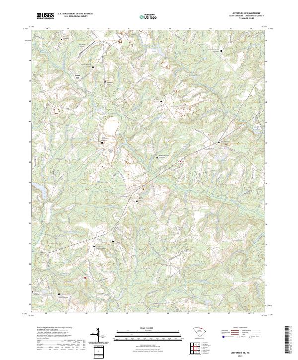
1968 Jefferson NE
Chesterfield County, SC
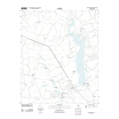
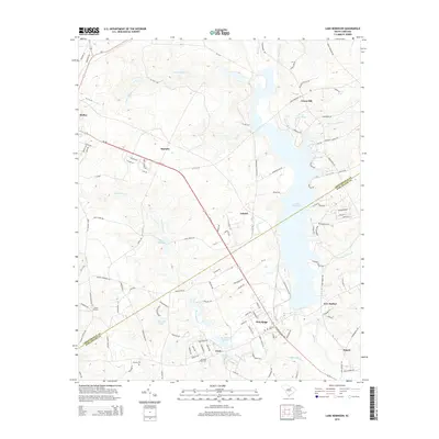
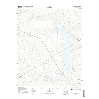
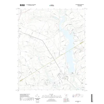
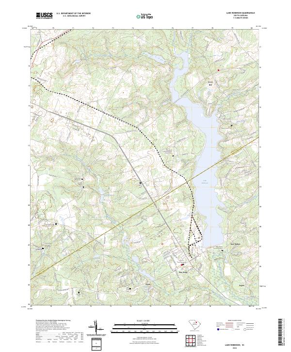
1968 Lake Robinson
Chesterfield County, SC
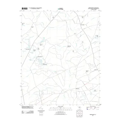
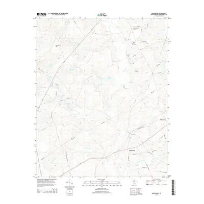
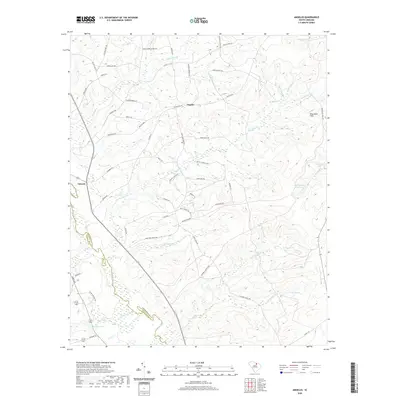
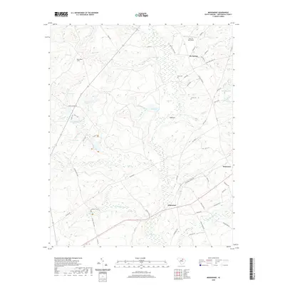
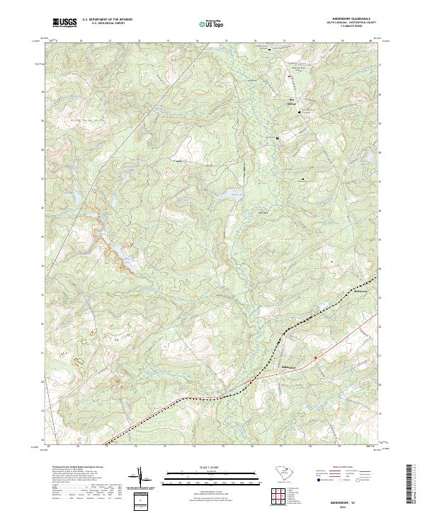
1968 Middendorf
Chesterfield County, SC
1970 Mt. Croghan
Chesterfield County, SC
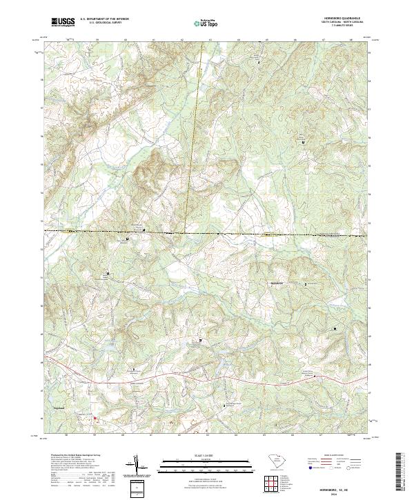
1971 Hornsboro
Chesterfield County, SC
2011 Angelus
Chesterfield County, SC
2011 Hornsboro
Chesterfield County, SC
2011 Jefferson NE
Chesterfield County, SC
2011 Lake Robinson
Chesterfield County, SC
2011 Middendorf
Chesterfield County, SC
2014 Angelus
Chesterfield County, SC
2014 Hornsboro
Chesterfield County, SC
2014 Jefferson NE
Chesterfield County, SC
2014 Lake Robinson
Chesterfield County, SC
2014 Middendorf
Chesterfield County, SC
2017 Angelus
Chesterfield County, SC
2017 Hornsboro
Chesterfield County, SC
2017 Jefferson NE
Chesterfield County, SC
2017 Lake Robinson
Chesterfield County, SC
2017 Middendorf
Chesterfield County, SC
2020 Angelus
Chesterfield County, SC
2020 Hornsboro
Chesterfield County, SC
2020 Jefferson NE
Chesterfield County, SC
2020 Lake Robinson
Chesterfield County, SC
2020 Middendorf
Chesterfield County, SC
2024 Angelus
Chesterfield County, SC
2024 Hornsboro
Chesterfield County, SC
2024 Jefferson NE
Chesterfield County, SC
2024 Lake Robinson
Chesterfield County, SC
2024 Middendorf
Chesterfield County, SC