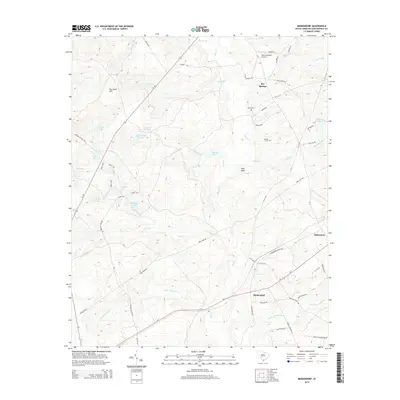
2014 Map of Middendorf
USGS Topo · Published 2014About this map
Middendorf anchors the southern portion of this landscape, situated along the diagonal corridor of Us-1. This rural South Carolina terrain is defined by a dense network of blackwater streams and small lakes, including Lake Bee, the Twin Lakes, and Martins Lake. The area's sandy composition is evident in the King Sand Hills, while local transportation history is preserved through the naming of Wire Four Rd and various family-named routes.
Find a feature on this map
62 named features on this map. Tap any name to fly to it.
Don’t see what you’re looking for? This feature index may not catch every label — zoom into the map to look around manually.
Map Details
Editions of this 2014 Middendorf Map
This is the sole edition of this map. No revisions or reprints were ever made.
Other maps of this area

1941 · Spartanburg
USGS Topo · 1:250,000

1953 · Spartanburg
USGS Topo · 1:250,000

1960 · Spartanburg
USGS Topo · 1:250,000

1963 · Spartanburg
USGS Topo · 1:250,000

1964 · Spartanburg
USGS Topo · 1:250,000

1967 · Angelus
USGS Topo · 1:24,000

1968 · Chesterfield
USGS Topo · 1:24,000

1968 · Patrick
USGS Topo · 1:24,000

1968 · Middendorf
USGS Topo · 1:24,000

1968 · Ruby
USGS Topo · 1:24,000