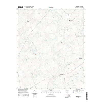
2017 Map of Middendorf
USGS Topo · Published 2017About this map
Middendorf and the surrounding Chesterfield County landscape are defined by an intricate network of creeks and drainage basins including the prominent Black Cr and Little Beaverdam Br. The area exhibits a pattern of rural settlement and agriculture, with numerous family-named roads such as Mary Ann Crowley Rd and Ida Cassidy Rd suggesting long-standing local lineages. Historically significant routes like Old Wire Rd traverse the terrain, while landmarks like Wild Irish Rose Airport and the King Sand Hills offer unique geographic anchors for this part of the state. Local genealogy is further supported by the presence of Brown Cem and Cassidy Cem. Extensive water features, from the large Beaver Pond to the clustered Triple Lakes and Twin Lakes, illustrate the well-watered nature of this region, providing essential context for understanding early land use and settlement placement.
Find a feature on this map
63 named features on this map. Tap any name to fly to it.
Don’t see what you’re looking for? This feature index may not catch every label — zoom into the map to look around manually.
Map Details
Editions of this 2017 Middendorf Map
This is the sole edition of this map. No revisions or reprints were ever made.
Other maps of this area

1941 · Spartanburg
USGS Topo · 1:250,000

1953 · Spartanburg
USGS Topo · 1:250,000

1960 · Spartanburg
USGS Topo · 1:250,000

1963 · Spartanburg
USGS Topo · 1:250,000

1964 · Spartanburg
USGS Topo · 1:250,000

1967 · Angelus
USGS Topo · 1:24,000

1968 · Chesterfield
USGS Topo · 1:24,000

1968 · Patrick
USGS Topo · 1:24,000

1968 · Middendorf
USGS Topo · 1:24,000

1968 · Ruby
USGS Topo · 1:24,000