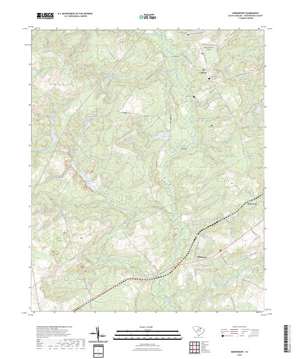
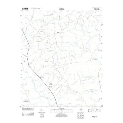
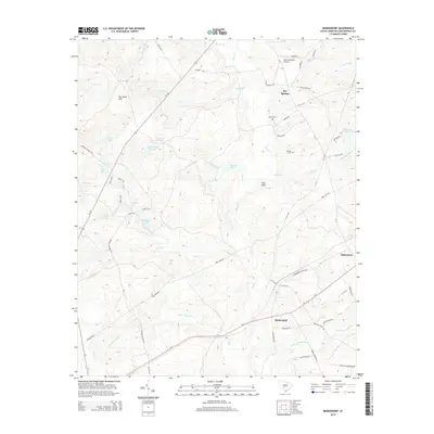
2024 Map of Middendorf
USGS Topo · Published 2024About this map
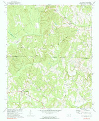
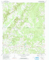
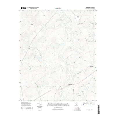
The Carolina Sandhills National Wildlife Refuge dominates this section of Chesterfield County, preserving a unique landscape of sand hills and diverse wetlands. Long-established family ties to the land are evident in the numerous small burial grounds found throughout the area, including Cassidy Cem, the Brown Cem, and the Palmetto Church Graveyard. These sites, along with settlements like Middendorf and Bay Springs, reflect the rural community structure of the South Carolina sandhills.
Find a feature on this map
68 named features on this map. Tap any name to fly to it.
Don’t see what you’re looking for? This feature index may not catch every label — zoom into the map to look around manually.
Map Details
Editions of this 2024 Middendorf Map
This is the sole edition of this map. No revisions or reprints were ever made.
Historical Maps of McKennon Through Time
31 maps found
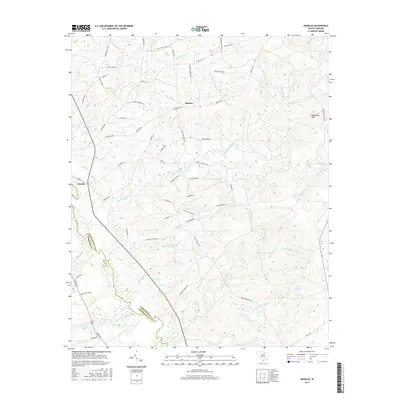
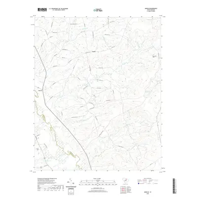
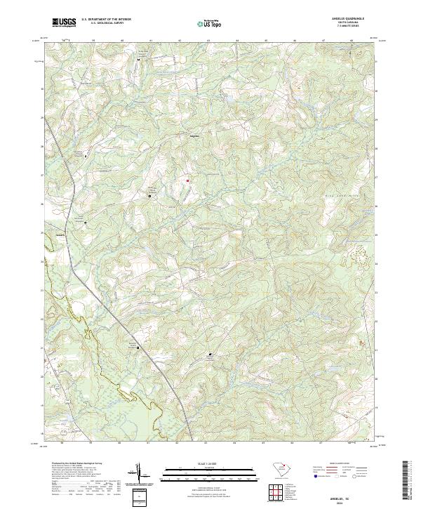
1967 Angelus
Chesterfield County, SC
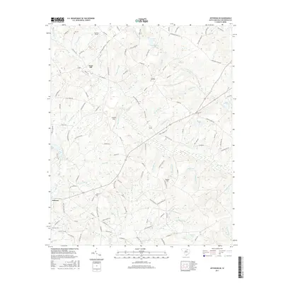
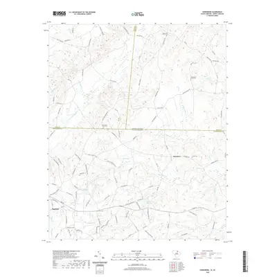
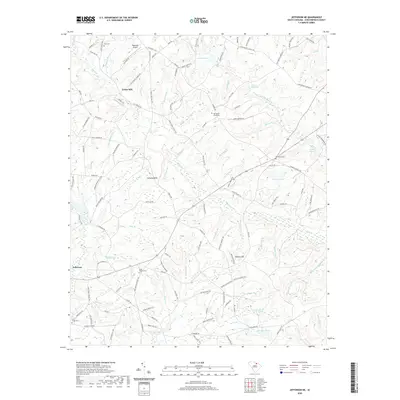
1968 Jefferson NE
Chesterfield County, SC
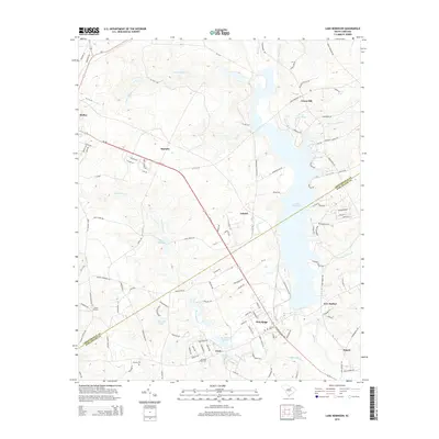
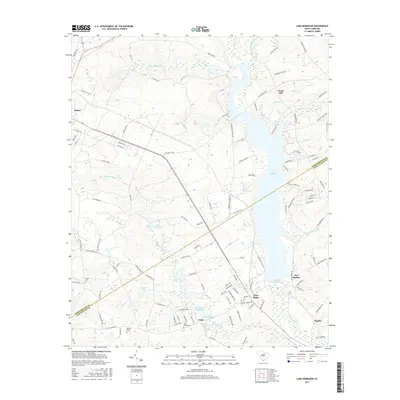
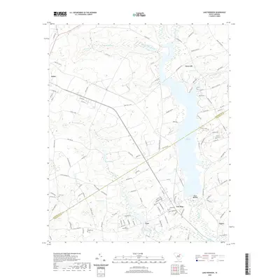
1968 Lake Robinson
Chesterfield County, SC
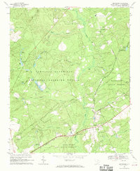
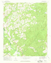
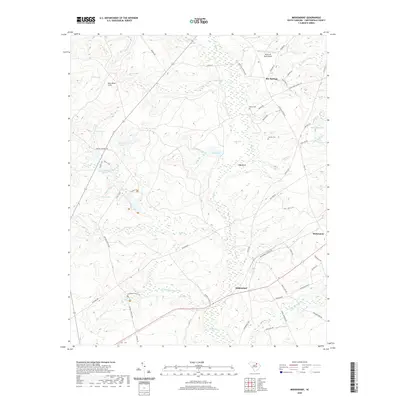
1968 Middendorf
Chesterfield County, SC
1970 Mt. Croghan
Chesterfield County, SC
1971 Hornsboro
Chesterfield County, SC
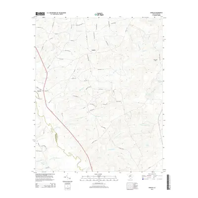
2011 Angelus
Chesterfield County, SC
2011 Hornsboro
Chesterfield County, SC
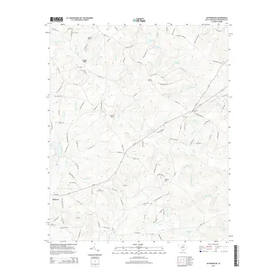
2011 Jefferson NE
Chesterfield County, SC
2011 Lake Robinson
Chesterfield County, SC
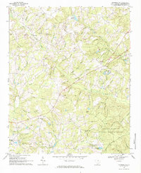
2011 Middendorf
Chesterfield County, SC
2014 Angelus
Chesterfield County, SC
2014 Hornsboro
Chesterfield County, SC
2014 Jefferson NE
Chesterfield County, SC
2014 Lake Robinson
Chesterfield County, SC
2014 Middendorf
Chesterfield County, SC
2017 Angelus
Chesterfield County, SC
2017 Hornsboro
Chesterfield County, SC
2017 Jefferson NE
Chesterfield County, SC
2017 Lake Robinson
Chesterfield County, SC
2017 Middendorf
Chesterfield County, SC
2020 Angelus
Chesterfield County, SC
2020 Hornsboro
Chesterfield County, SC
2020 Jefferson NE
Chesterfield County, SC
2020 Lake Robinson
Chesterfield County, SC
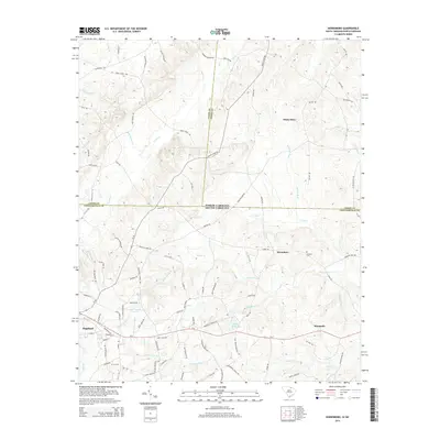
2020 Middendorf
Chesterfield County, SC
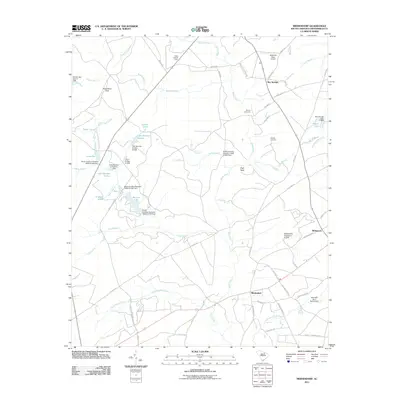
2024 Angelus
Chesterfield County, SC
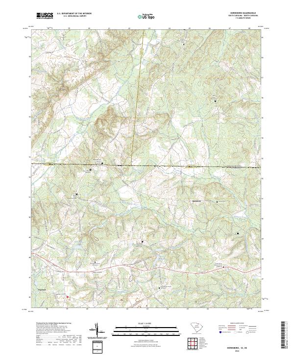
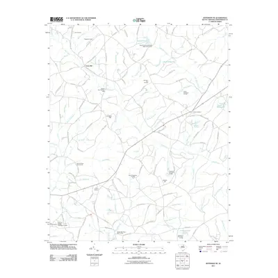
2024 Hornsboro
Chesterfield County, SC
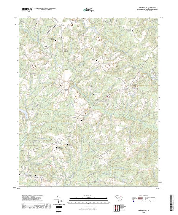
2024 Jefferson NE
Chesterfield County, SC
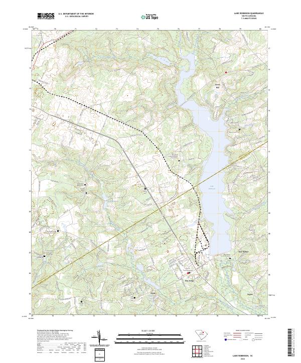
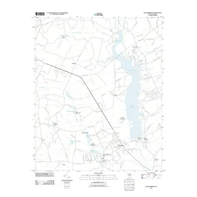
2024 Lake Robinson
Chesterfield County, SC
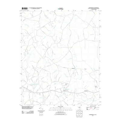
2024 Middendorf
Chesterfield County, SC