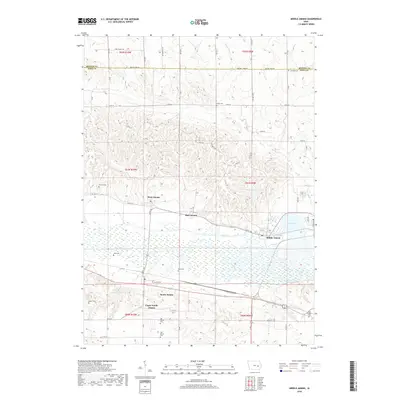
2018 Map of Middle Amana
USGS Topo · Published 2018About this map
Middle Amana and its neighboring villages anchor this topographic study, revealing the distinctive communal settlement pattern of the Amana Colonies. The landscape is defined by the Iowa River and the engineered Mill Race, a waterway that historically powered local industry and links the central settlements. The surrounding terrain transitions from the river valley's wetlands, such as Lily Pond and South Amana Pond, to the upland prairies marked by a network of rural roads like Benton Iowa Rd. Genealogists will find significant value in the numerous burial sites across the township, including Maas Cem, Old Scotch Cem, and Niles-Sprague Cem. The map documents a blend of traditional agricultural heritage and modern infrastructure, shown through the layout of West Amana, High Amana, and South Amana as they appeared in the early 21st century.
Find a feature on this map
37 named features on this map. Tap any name to fly to it.
Don’t see what you’re looking for? This feature index may not catch every label — zoom into the map to look around manually.
Map Details
Editions of this 2018 Middle Amana Map
This is the sole edition of this map. No revisions or reprints were ever made.
Other maps of this area

1888 · Amana
USGS Topo · 1:62,500

1889 · Amana
USGS Topo · 1:62,500

1891 · Oxford
USGS Topo · 1:62,500

1894 · Oxford
USGS Topo · 1:62,500

1899 · Amana
USGS Topo · 1:62,500

1903 · Fairfax
USGS Topo · 1:125,000

1954 · Des Moines
USGS Topo · 1:250,000

1956 · Des Moines
USGS Topo · 1:250,000

1957 · Des Moines
USGS Topo · 1:250,000

1958 · Davenport
USGS Topo · 1:250,000