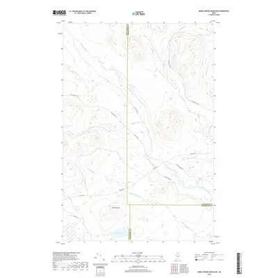
2018 Map of Middle Brook Mountain
USGS Topo · Published 2018About this map
Mid Brook Mtn and the surrounding drainage basins of the North Woods define this terrain, located at the intersection of Penobscot, Aroostook, and Piscataquis counties. The landscape is dominated by a dense network of waterways, most notably Mooseleuk Stream, which is fed by numerous tributaries including Little Mooseleuk Stream, Cedar Brook, and Rocky Brook. A significant natural landmark, Boars Head Falls, sits along the Mooseleuk as it winds through the eastern portion of the quadrangle.
Find a feature on this map
24 named features on this map. Tap any name to fly to it.
Don’t see what you’re looking for? This feature index may not catch every label — zoom into the map to look around manually.
Map Details
Editions of this 2018 Middle Brook Mountain Map
This is the sole edition of this map. No revisions or reprints were ever made.
Other maps of this area

1930 · Greenlaw
USGS Topo · 1:48,000

1931 · Mooseleuk Lake
USGS Topo · 1:48,000

1933 · Greenlaw
USGS Topo · 1:62,500

1935 · Mooseleuk Lake
USGS Topo · 1:62,500

1954 · Millinocket Lake
USGS Topo · 1:62,500

1954 · Grand Lake Seboeis
USGS Topo · 1:62,500

1954 · Presque Isle
USGS Topo · 1:250,000

1958 · Presque Isle
USGS Topo · 1:250,000

1960 · Presque Isle
USGS Topo · 1:250,000
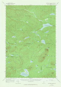
1963 · Mooseleuk Lake
USGS Topo · 1:62,500