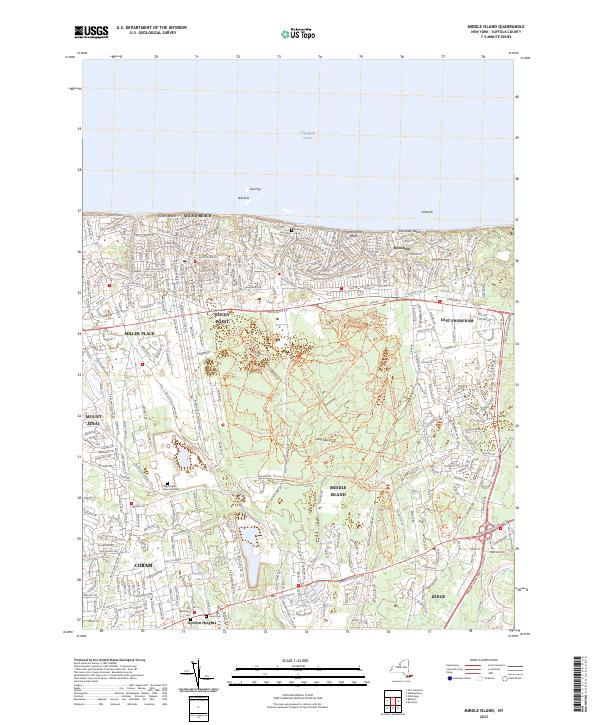
2023 Map of Middle Island
USGS Topo · Published 2023About this map
Sound Beach and Shoreham Beach anchor the northern coastline of this Suffolk County landscape, where the waters of the Long Island Sound meet distinctive shoreline features like Two Pigs, Old Sow, and Sill Rock. Further inland, the map captures a dense network of suburban residential development concentrated around established centers like Rocky Point, Miller Place, and Middle Island. This modern survey reveals the preservation of historical footprints amidst 21st-century growth, specifically through the presence of the Noah Hallock Cem and the Old Methodist Cem near Gordon Heights.
Find a feature on this map
142 named features on this map. Tap any name to fly to it.
Don’t see what you’re looking for? This feature index may not catch every label — zoom into the map to look around manually.
Map Details
Editions of this 2023 Middle Island Map
This is the sole edition of this map. No revisions or reprints were ever made.
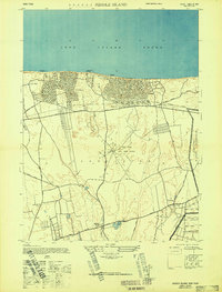
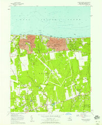
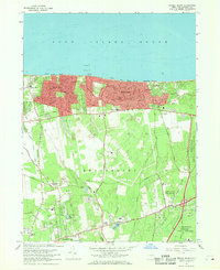
Historical Maps of Middle Island Through Time
4 maps found