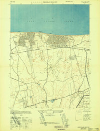
1947 Map of Middle Island
USGS Topo · Published 1947About this map
North shore beaches and early Cold War communication infrastructure define this mid-century portrait of Brookhaven. The RCA Radio Station stands centrally with its network of roads and a prominent Radio Tower, while the eastern margin is dominated by the Camp Upton Military Reservation. Along the coastline of the Long Island Sound, the transition from traditional landings like Woodhull Landing and Hallock Landing to residential developments in Sound Beach and Shoreham is clearly visible. Inland, the landscape retains a largely rural character, anchored by the settlement of Middle Island near the kettle-hole waters of Artist Lake. Local transit relies on established routes such as North Country Road and Middle Country Road, which cut through the wooded terrain of central Suffolk County.
Find a feature on this map
31 named features on this map. Tap any name to fly to it.
Don’t see what you’re looking for? This feature index may not catch every label — zoom into the map to look around manually.
Map Details
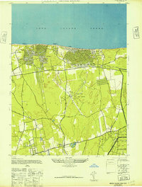
Editions of this 1947 Middle Island Map
2 editions found
Other maps of this area

1891 · Bridgeport
USGS Topo · 1:62,500

1893 · Bridgeport
USGS Topo · 1:62,500

1902 · Setauket
USGS Topo · 1:62,500

1904 · Setauket
USGS Topo · 1:62,500

1904 · Islip
USGS Topo · 1:125,000

1904 · Moriches
USGS Topo · 1:62,500

1919 · Setauket
USGS Topo · 1:62,500

1920 · Bridgeport
USGS Topo · 1:62,500

1942 · Islip
USGS Topo · 1:125,000

1947 · Bellport
USGS Topo · 1:24,000