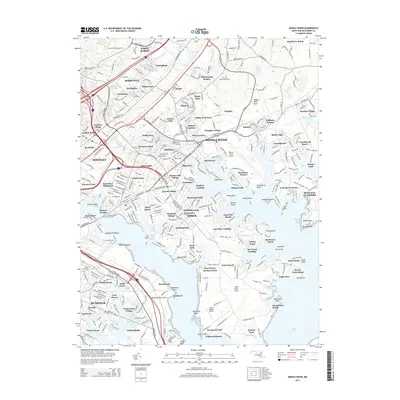
2014 Map of Middle River
USGS Topo · Published 2014About this map
The intricate interface of the Chesapeake Bay's northern estuaries is clearly defined in this detailed portrait of Baltimore County's eastern suburbs. Middle River and the surrounding communities of Essex and Rosedale are shown at a high point of residential and industrial development, where suburban housing clusters like Victory Villa and Wampler Village sit alongside significant infrastructure. Aviation plays a central role in the local landscape, with both the expansive Martin State Airport and the smaller Essex Skypark Airport positioned near the water's edge.
Find a feature on this map
363 named features on this map. Tap any name to fly to it.
Don’t see what you’re looking for? This feature index may not catch every label — zoom into the map to look around manually.
Map Details
Editions of this 2014 Middle River Map
This is the sole edition of this map. No revisions or reprints were ever made.
Other maps of this area

1893 · North Point
USGS Topo · 1:62,500

1893 · Gunpowder
USGS Topo · 1:62,500

1894 · Baltimore
USGS Topo · 1:62,500

1894 · Relay
USGS Topo · 1:62,500

1898 · Tolchester
USGS Topo · 1:125,000

1899 · Baltimore
USGS Topo · 1:62,500

1901 · Gunpowder
USGS Topo · 1:62,500

1903 · Tolchester
USGS Topo · 1:125,000

1904 · Baltimore
USGS Topo · 1:62,500

1904 · North Point
USGS Topo · 1:62,500