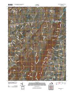
2010 Map of Middleburg
USGS Topo · Published 2010About this map
Middleburg and Aldie anchor this corridor of northern Virginia, where the historic Little River Turnpike route transitions from the rolling Piedmont toward the Bull Run Mountains. The landscape is defined by traditional equestrian and agricultural estates, evidenced by landmarks like the Glenwood Racetrack and the Hickory Tree Farm Airport. In the village of Aldie, the presence of the Aldie Mill and Aldie Dam along the Little River reflects the area's early industrial roots, while numerous family and community burial grounds, such as Sharon Cemetery and Solon Cemetery, provide significant points of interest for genealogical research. To the south, the terrain rises into the ridge-and-valley profiles of Signal Mountain and Griffin Mountain, overlooking newer residential clusters like Bull Run Mountain Estates and Mill Creek Estates. This survey also captures distinct local features including State Prison Camp Number 26 and the crossroads at Picketts Corner.
Find a feature on this map
110 named features on this map. Tap any name to fly to it.
Don’t see what you’re looking for? This feature index may not catch every label — zoom into the map to look around manually.
Map Details
Editions of this 2010 Middleburg Map
This is the sole edition of this map. No revisions or reprints were ever made.
Other maps of this area

1884 · Harpers Ferry
USGS Topo · 1:125,000

1891 · Harpers Ferry
USGS Topo · 1:125,000

1893 · Harpers Ferry
USGS Topo · 1:125,000

1894 · Warrenton
USGS Topo · 1:125,000

1916 · Berryville
USGS Topo · 1:62,500

1933 · Middleburg
USGS Topo · 1:62,500

1939 · Berryville
USGS Topo · 1:48,000

1943 · Arcola
USGS Topo · 1:24,000

1943 · Bluemont
USGS Topo · 1:24,000

1943 · Thorofare Gap
USGS Topo · 1:24,000