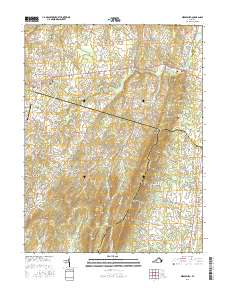
2016 Map of Middleburg
USGS Topo · Published 2016About this map
Middleburg and Aldie anchor this transition between the Piedmont hunt country and the rising Bull Run Mountains. The landscape is defined by the legacy of Virginia's historic turnpikes and the preservation of estate grounds, where narrow lanes like Snickersville Tpke and Sally Mill Rd wind through gaps in the ridge. Local history is deeply etched into the land at Aldie Presbyterian Cem and Sharon Cem, while the Hickory Tree Farm Airport represents the area's mid-century aviation heritage. Southward, the topography becomes more dramatic at Signal Mtn and White Rock, where the dense residential development of Bull Run Mountain Estates contrasts with the surrounding agricultural land and the winding waters of the Little River and Goose Creek.
Find a feature on this map
138 named features on this map. Tap any name to fly to it.
Don’t see what you’re looking for? This feature index may not catch every label — zoom into the map to look around manually.
Map Details
Editions of this 2016 Middleburg Map
This is the sole edition of this map. No revisions or reprints were ever made.
Other maps of this area

1884 · Harpers Ferry
USGS Topo · 1:125,000

1891 · Harpers Ferry
USGS Topo · 1:125,000

1893 · Harpers Ferry
USGS Topo · 1:125,000

1894 · Warrenton
USGS Topo · 1:125,000

1916 · Berryville
USGS Topo · 1:62,500

1933 · Middleburg
USGS Topo · 1:62,500

1939 · Berryville
USGS Topo · 1:48,000

1943 · Arcola
USGS Topo · 1:24,000

1943 · Bluemont
USGS Topo · 1:24,000

1943 · Thorofare Gap
USGS Topo · 1:24,000