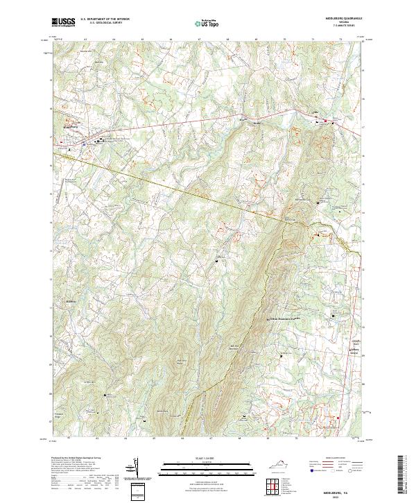
2022 Map of Middleburg
USGS Topo · Published 2022About this map
Middleburg and Aldie anchor the northern landscape of this region, where the Virginia hunt country transitions into the rising elevations of the Bull Run Mountains. This area is characterized by a dense concentration of historical burial grounds and religious sites, including the Emmanuel Episcopal Church Cem and the Skinner Family Cem, which offer significant data points for genealogical research. The map captures the complex network of equestrian and hiking paths such as the Loudoun County Trails Trl and the Prince William County Trails Trl, reflecting the long-standing land use patterns of the Piedmont. Between the settlements of Dover and Stoke, the terrain is defined by watercourses like the Little River and Wancopin Cr which carve through the Culpeper Basin.
Find a feature on this map
53 named features on this map. Tap any name to fly to it.
Don’t see what you’re looking for? This feature index may not catch every label — zoom into the map to look around manually.
Map Details
Editions of this 2022 Middleburg Map
This is the sole edition of this map. No revisions or reprints were ever made.
Other maps of this area

1884 · Harpers Ferry
USGS Topo · 1:125,000

1891 · Harpers Ferry
USGS Topo · 1:125,000

1893 · Harpers Ferry
USGS Topo · 1:125,000

1894 · Warrenton
USGS Topo · 1:125,000

1916 · Berryville
USGS Topo · 1:62,500

1933 · Middleburg
USGS Topo · 1:62,500

1939 · Berryville
USGS Topo · 1:48,000

1943 · Arcola
USGS Topo · 1:24,000

1943 · Bluemont
USGS Topo · 1:24,000

1943 · Thorofare Gap
USGS Topo · 1:24,000