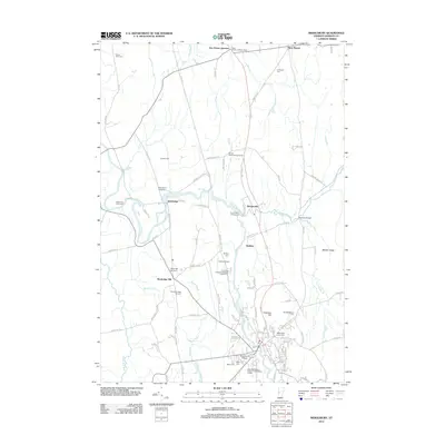
2012 Map of Middlebury
USGS Topo · Published 2012About this map
Middlebury College anchors the southern portion of this landscape, its campus sitting just south of Chipman Hill and the town’s commercial core. The region is defined by the winding course of Otter Cr, which creates a complex series of bends and falls as it moves north toward Weybridge. Notable riverside sites include Huntington Falls and the Rivers Bend Campground, illustrating how the waterway served both industry and recreation in the early 21st century. To the north, the New Haven Junction Depot marks a historic intersection of transportation at the junction of New Haven Junction.
Find a feature on this map
100 named features on this map. Tap any name to fly to it.
Don’t see what you’re looking for? This feature index may not catch every label — zoom into the map to look around manually.
Map Details
Editions of this 2012 Middlebury Map
This is the sole edition of this map. No revisions or reprints were ever made.
Other maps of this area

1894 · Port Henry
USGS Topo · 1:62,500

1894 · Ticonderoga
USGS Topo · 1:62,500

1896 · Ticonderoga
USGS Topo · 1:62,500

1898 · Port Henry
USGS Topo · 1:62,500

1902 · Ticonderoga
USGS Topo · 1:62,500

1902 · Brandon
USGS Topo · 1:62,500

1903 · Middlebury
USGS Topo · 1:62,500

1904 · Brandon
USGS Topo · 1:62,500

1905 · Middlebury
USGS Topo · 1:62,500

1920 · Brandon
USGS Topo · 1:62,500