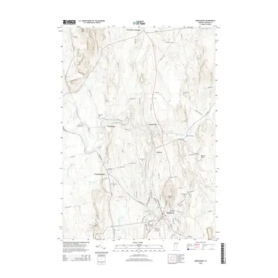
2015 Map of Middlebury
USGS Topo · Published 2015About this map
Middlebury serves as the focal point of this 2015 survey, where the campus of Marys Middlebury Coll and the village center meet the banks of Otter Creek. The map documents a landscape defined by its historical burial grounds and education centers, from the Washington Street Cem and Old Middlebury Cem downtown to the rural Weybridge Hill Cem and First Weybridge Hill Cem to the west.
Find a feature on this map
94 named features on this map. Tap any name to fly to it.
Don’t see what you’re looking for? This feature index may not catch every label — zoom into the map to look around manually.
Map Details
Editions of this 2015 Middlebury Map
This is the sole edition of this map. No revisions or reprints were ever made.
Other maps of this area

1894 · Port Henry
USGS Topo · 1:62,500

1894 · Ticonderoga
USGS Topo · 1:62,500

1896 · Ticonderoga
USGS Topo · 1:62,500

1898 · Port Henry
USGS Topo · 1:62,500

1902 · Ticonderoga
USGS Topo · 1:62,500

1902 · Brandon
USGS Topo · 1:62,500

1903 · Middlebury
USGS Topo · 1:62,500

1904 · Brandon
USGS Topo · 1:62,500

1905 · Middlebury
USGS Topo · 1:62,500

1920 · Brandon
USGS Topo · 1:62,500