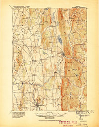
1920 Map of Middlebury
USGS Topo · Published 1920About this map
Middlebury and the Vergennes area serve as the primary hubs in this agricultural and industrial landscape of western Vermont. The Rutland R. R. provides the essential north-south corridor, connecting the marble-rich hills near Marble Ledge to the wider valley. The map documents a rural society built on the power of moving water, with numerous small hamlets like New Haven Mills, Brooksville, and Beldens positioned along the winding Otter Creek and the New Haven River.
Find a feature on this map
72 named features on this map. Tap any name to fly to it.
Don’t see what you’re looking for? This feature index may not catch every label — zoom into the map to look around manually.
Map Details
Editions of this 1920 Middlebury Map
This is the sole edition of this map. No revisions or reprints were ever made.
Other maps of this area
1894 · Port Henry
USGS Topo · 1:62,500
1894 · Ticonderoga
USGS Topo · 1:62,500
1895 · Willsboro
USGS Topo · 1:62,500
1896 · Ticonderoga
USGS Topo · 1:62,500
1898 · Port Henry
USGS Topo · 1:62,500
1902 · Ticonderoga
USGS Topo · 1:62,500
1902 · Brandon
USGS Topo · 1:62,500
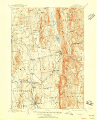
1903 · Middlebury
USGS Topo · 1:62,500
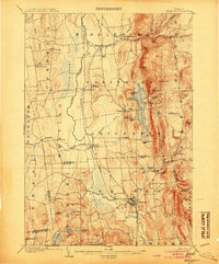
1904 · Brandon
USGS Topo · 1:62,500
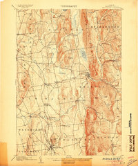
1905 · Middlebury
USGS Topo · 1:62,500