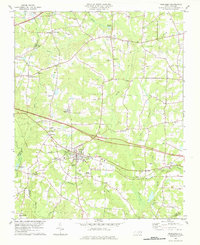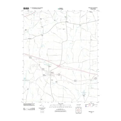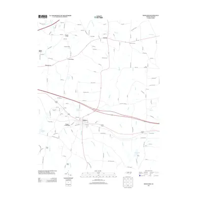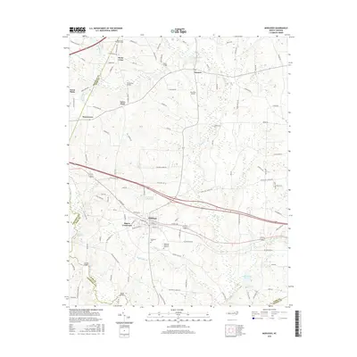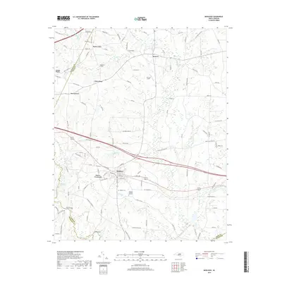
2022 Map of Middlesex
USGS Topo · Published 2022About this map
Middlesex serves as the central hub for this rural landscape where Nash, Johnston, and Wilson counties converge. The town's layout is defined by the intersection of state routes and local corridors like Finch Ave, surrounded by a landscape of scattered small settlements such as Rogers Crossroads and Murraytown. Local history is preserved in several dedicated spaces, including the Middlesex Cem and Middlesex Memorial Gardens near the town center, while further north, the Rocky Cross Church Cem marks the small community of Rocky Cross.
Find a feature on this map
109 named features on this map. Tap any name to fly to it.
Don’t see what you’re looking for? This feature index may not catch every label — zoom into the map to look around manually.
Map Details
Editions of this 2022 Middlesex Map
This is the sole edition of this map. No revisions or reprints were ever made.
Historical Maps of Middlesex Through Time
6 maps found