2020 Map of Middleton Island B-7 NE
USGS Topo · Published 2020About this map
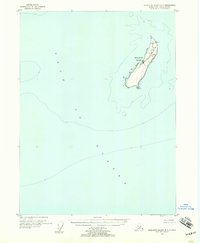
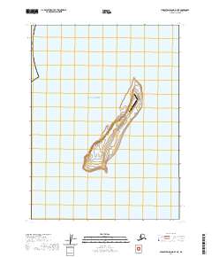
Middleton Island sits as a solitary outpost within the vast expanse of the Gulf of Alaska in this 2020 survey. Located south of Prince William Sound, this small, isolated landmass is dominated by its aviation infrastructure and low-lying maritime terrain. The map highlights the Middleton Island Airport, a critical landing strip that reflects the island's strategic and logistical importance for weather monitoring and search-and-rescue operations in these northern waters. Beyond the runway, the island's internal topography is defined by subtle contouring and a network of sections under the Public Land Survey System, including t28s r7w and t28s r6w, marking out a territory where human activity is sparse and focused almost entirely on the operational needs of the airfield.
Find a feature on this map
5 named features on this map. Tap any name to fly to it.
Don’t see what you’re looking for? This feature index may not catch every label — zoom into the map to look around manually.
Map Details
Editions of this 2020 Middleton Island B-7 NE Map
This is the sole edition of this map. No revisions or reprints were ever made.