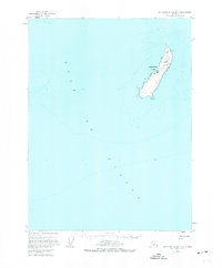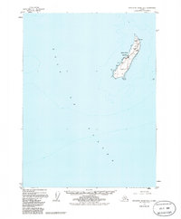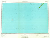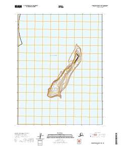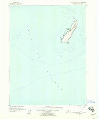
1955 Map of Middleton Island B-7
USGS Topo · Published 1957About this map
Middleton Island rises from the Gulf of Alaska as a remote outpost of navigation and aviation. This mid-1950s survey detail reveals a landscape defined by its strategic infrastructure, featuring the settlement of Middleton and a central Landing Field. The island's northern tip is anchored by a Radiobeacon and Light, essential markers for maritime and aerial traffic in these northern waters. Industrial elements like tanks and a single tank are clustered near the landing facilities, suggesting a self-contained station reliant on imported fuel. The topographical contours illustrate the island's unique elongated shape and gradual elevation changes, providing a clear picture of this solitary landmass before later seismic shifts altered its coastline.
Find a feature on this map
8 named features on this map. Tap any name to fly to it.
Don’t see what you’re looking for? This feature index may not catch every label — zoom into the map to look around manually.
Map Details
Editions of this 1955 Middleton Island B-7 Map
3 editions found