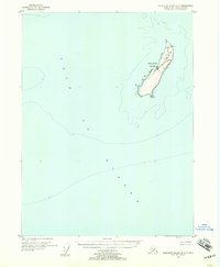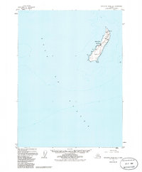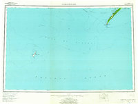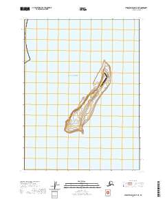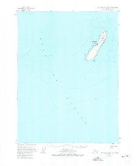
1955 Map of Middleton Island B-7
USGS Topo · Published 1974About this map
Middleton Island, a remote landmass in the Gulf of Alaska, is depicted here during the mid-1950s as a critical node for maritime and aerial navigation. The terrain is dominated by a flat, elongated plateau that supports a Landing Field, reflecting the island's strategic utility in the post-war era. Infrastructure is sparse but specialized, centered on a series of Tanks, a Radiobeacon, and a Light at the island's northern tip. These features highlight the island's role as a beacon and fuel point for Pacific transit. The surrounding bathymetry and shoreline details, compiled from coast and geodetic surveys, emphasize the isolation of this narrow strip of land within the expansive waters of the gulf. This survey provides a distinct look at the island's functional layout before later environmental and seismic changes altered the coastline.
Find a feature on this map
6 named features on this map. Tap any name to fly to it.
Don’t see what you’re looking for? This feature index may not catch every label — zoom into the map to look around manually.
Map Details
Editions of this 1955 Middleton Island B-7 Map
3 editions found